- Phone: 540-627-6085
-
Follow
- Switch to:
- About
- Our Staff
- Visitor Resources
- Partners & Research
- Volunteer
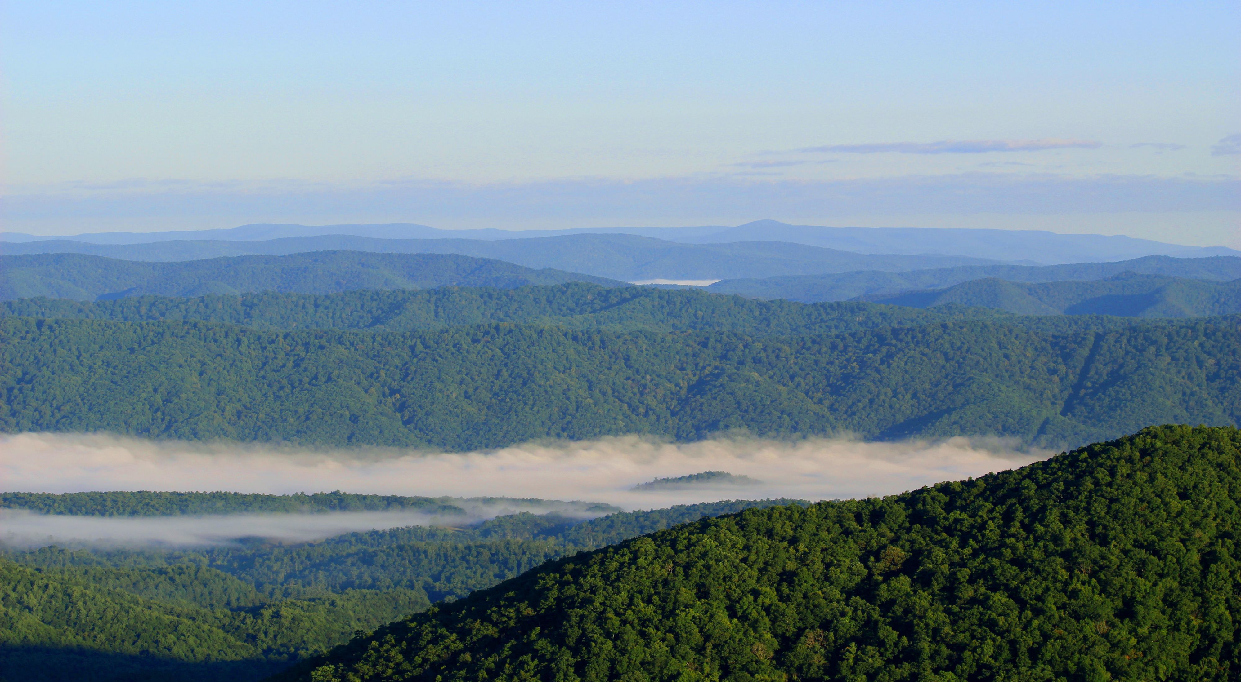
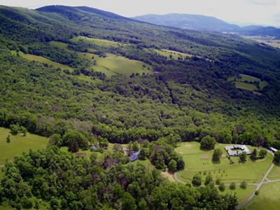
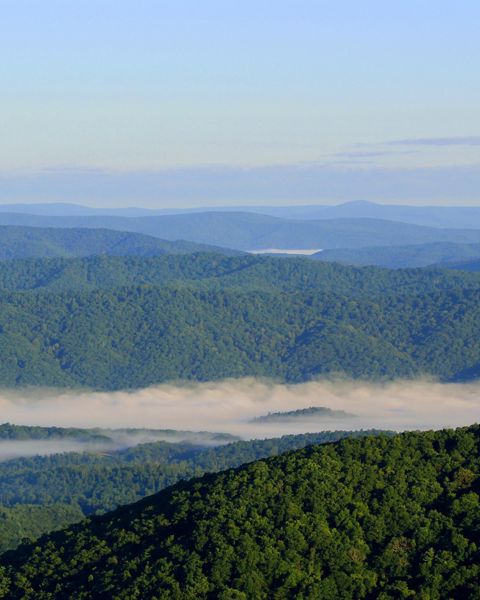
The views from Warm Springs Mountain have remained largely unchanged since Native Americans first stewarded these lands. A sea of ridges roll to the horizon—an unexpected, unbroken forest in a well-traversed part of America.
In 2002, The Nature Conservancy protected over 9,000 acres in the heart of the Allegheny Highlands creating what is now Warm Springs Mountain Preserve. Adjacent to the historic Omni Homestead resort and George Washington National Forest, our preserve represents one of the largest and most ecologically significant private forests in the Central Appalachians, stitching together hundreds of thousands of acres of conservation lands that form an impressive wildlife corridor.
We're working to ensure that these mountains at the edge of Appalachia remain a natural stronghold against climate change, and that the Allegheny Highlands' human and natural communities are supported, restored and enhanced. Explore the links and stories on this page to learn more.
Feature
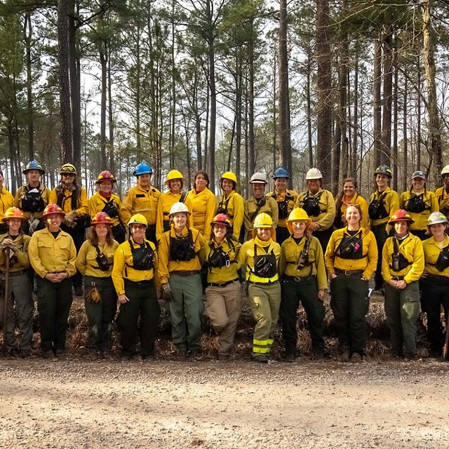
Trailblazers: Women in Fire
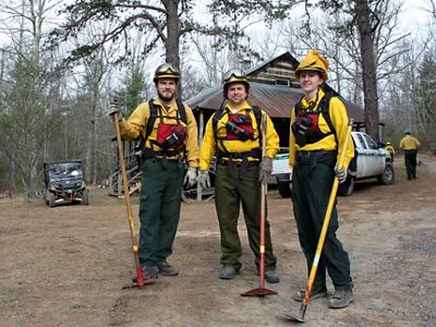
Female fire professionals are blazing new career trails while harnessing the power of fire to restore forests.
Project Overview
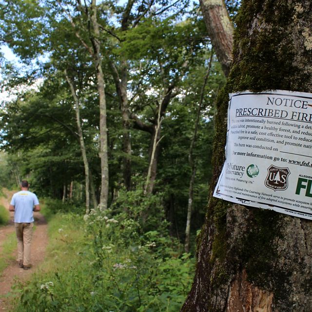
Fire, Management and Monitoring
Learn how the Allegheny Highlands Program uses fire to maintain biological diversity in an ecosystem critical to climate change migration.
Feature
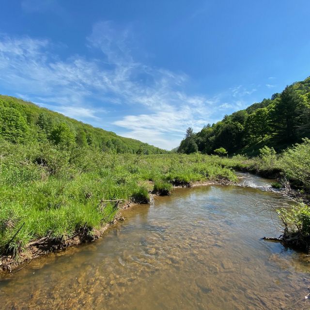
Making Connections in the Allegheny Highlands
A partnership protecting nearly 2,000 acres of land will connect diverse habitat thanks to the vision and generosity of landowner Fitz Gary.
Places We Protect
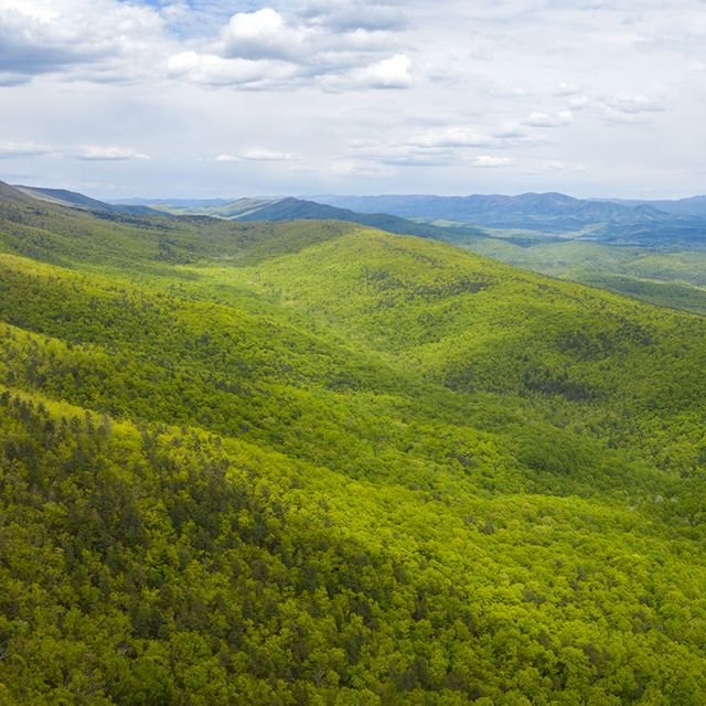
Warm Springs Mountain
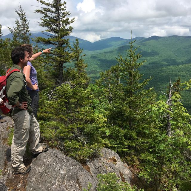
Three public trails offer an introduction to one of the most ecologically significant forests in the Central Appalachians.
Places We Protect
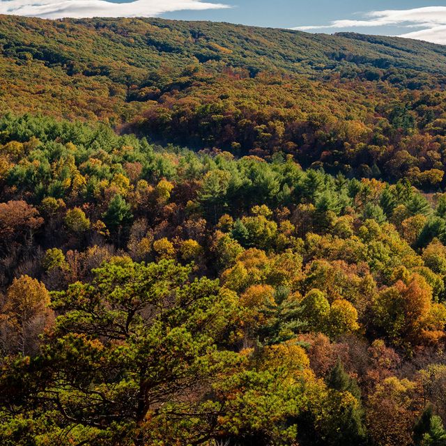
Central Appalachians
Spanning six states and more than 50,000 square miles of the most awe-inspiring landscapes in America.
Places We Protect
Natural Highways and Neighborhoods
A remarkable mapping tool provides a roadmap for conserving places where plants and animals can thrive in a changing climate.
Program Milestones
Accomplishments
We're working to ensure that these mountains at the edge of Appalachia remain a natural stronghold against climate change, and that the Allegheny Highlands' human and natural communities are supported, restored and enhanced.
More than 9,000 acres of critical native forest acquired on Warm Springs Mountain, marking TNC's largest single land purchase to date in Virginia.

Nearly 2,000 acres of land in Highland County placed under permanent conservation easement by landowner Fitz Gary, preserving biodiversity and vital habitat corridors.
CONNECT WITH THE Allegheny Highlands
For inquiries about conducting research in Warm Springs Mountain Preserve or to learn more about our conservation work.
208 East Washington Street, Ste. B
Lexington, VA 24450
Phone: 540-627-6085
For media inquiries, please contact Chelsea Bowers, Media Relations Manager, by phone at 804-728-0588 or email chelsea.bowers@tnc.org.
-
Explore the Allegheny Highlands
Guided by science, we collaborate with a variety of partners to protect the forests, caves, rivers and unique habitats of the Allegheny Highlands.
DOWNLOAD
Stay In Touch
Sign up to receive monthly conservation news and updates from Virginia. Get a preview of Virginia's Nature News email

Take a Closer Look
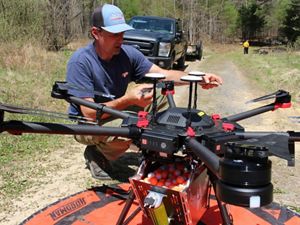
Drones and Dragon Eggs
Good weather, strong partnership and new technology contributed to a successful burn season in Virginia.
By Sandy Hausman | WVTF | Jul 14, 2021
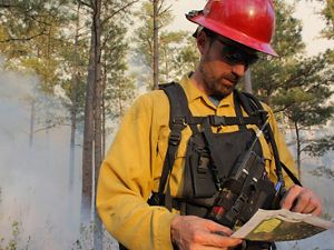
Once an Enemy, Fire Is Now a Tool for Regenerating Forests
TNC and partners are returning fire to the landscape in the Central Appalachians.
By Sarah Vogelsong | May 04, 2021
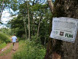
Weighing the Benefits
Could controlled burns promote climate change by releasing more carbon into the atmosphere? A new TNC study aims to find out.
By Sandy Hausman | WVTF | Aug 19, 2020
Our world faces complex conservation challenges. Meet the people who are working on creative, lasting solutions in the Central Appalachians.

Blair Smyth, Allegheny Highlands Program Director
email: blair.smyth@tnc.org
Blair leads our efforts in the Allegheny Highlands, a key part of TNC’s six-state Central Appalachians Program, directing land protection and forest and habitat restoration efforts, including our work to return fire to Warm Springs Mountain’s oak and pine communities.
I enjoy getting to work at a larger scale and having a broader impact. Collaborating with partners allows us to work together to achieve lasting impacts and implement strategies like prescribed fire at a landscape level.
Eric Homan, Restoration Technician
email: eric.homan@tnc.org
Eric's work is focused on maintaining and restoring connectivity and diversity on the landscape, restoring healthy and functional forests in the Allegheny Highlands through the implementation of fire, and protecting and maintaining Warm Springs Mountain Preserve for habitat and public access.
"I enjoy spending my time outdoors and working to enhance and protect the living world around me. It is rewarding to watch how the forest responds to what we do."
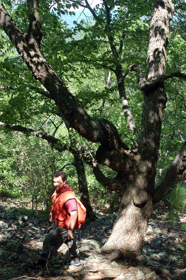
Jean Lorber, Conservation Scientist
email: jlorber@tnc.org
Jean uses his forestry and forest ecology background on projects ranging from land protection to conservation planning. Currently, he provides scientific and analytical capacity to the Allegheny Highlands Program, focused on Appalachian forest restoration.
I love working in the Appalachians because of the sheer volume of life it holds. In the same hike, I can find 10 salamander species, 50 birds and 100 wildflowers. Working to keep that diversity around is an honor and a privilege.
Zoe McGee, Program Coordinator
Zoe joined the Allegheny Highlands team in 2021 after working two seasons as the Dave Tice Science Technician. Her role encompasses many areas of the program's work, including prescribed fire and avian and forest structure monitoring, as well as efforts to integrate the 600-acre Hobby Horse Farm property, donated to TNC in 2022.
"I love that I get to support multiple facets of our program. I feel proud being a part of the hard work that staff, partners and volunteers have put in to protecting this beautiful mountain and land along the Central Appalachians."

Laurel Schablein, Conservation Coordinator
email: lschablein@tnc.org
Laurel collaborates with our diverse set of partners to achieve the program's large scale restoration and monitoring goals, including working with fire as a tool to achieve healthy mountain landscapes.
Every day is different and every time I set foot on the lands we support, I feel a renewed sense of awe in these mountains.
Visit the Allegheny Highlands and you’ll experience a rich sense of place—scenic mountain views, vast forests, diverse wildlife, clean waters and starry night skies. Late spring and early summer bring a profusion of wildflowers to the forest floor, while autumn offers brilliant foliage across mountain vistas that seem to stretch into infinity.
Explore the resources below and plan your visit to these endless mountains.
Hit the Trails
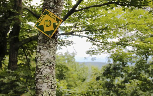
Resources: Maps & Trail Guides
- Warm Springs Mountain Trail and Visitor's Guide (.pdf)
- Bear Loop Trail (.pdf)
- Ingalls Overlook Trail (.pdf)
- Sandy Gap Trail (.pdf)
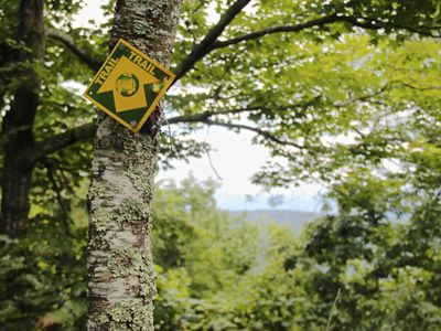
There are three publicly accessible trails on Warm Springs Mountain Preserve: Bear Loop Trail, Ingalls Overlook Trail and the Sandy Gap Trail.
Open to visitors during daylight hours, these three trails offer distinct experiences, from expansive mountain views to a close-up look at a globally rare pine barren, along with opportunities to extend your hike on adjoining public lands.
Use the resource list to open and download trail maps and guides. Individual trail maps are compatible with the Avenza PDF Maps Application for Apple and Android. Track your hike with GPS even without cell service or on airplane mode.
- Open Avenza PDF Maps
- Click on Maps icon at bottom of screen
- Click + at top right corner of screen to open the Import Map window
- Select From the web
- Type or paste the URL for the maps you want into the window, then hit Go.
Discover The Trails
-
From the village of Hot Springs, travel US 220 South for 7.7 miles, turn left on State Route 606 and travel 2.6 miles to the crest of Warm Springs Mountain. Turn left onto State Route 703 (Airport Road) and travel 6.2 miles to the trailhead, just left of the entrance to Ingalls Field Airport.
The Bear Loop Trail is located in Warm Springs Mountain Preserve, a keystone tract nested within a 77,000-acre unfragmented forest providing essential habitat for wide ranging mammals and migratory songbirds.
This 3.4-mile loop trail is relatively flat, easy and wide enough for families and groups of birders and other wildlife watchers. Several overlooks offer stunning panoramic views to the East and West. Interpretive signs highlight the mountain’s diversity of wildlife species and habitats in addition to TNC’s effort to restore the region’s fire-adapted oak and pine forests.
The trail encircles an area that is being restored through controlled burning, thus providing a diversity of open woodland and shrubland habitat for Indigo Buntings, Eastern Towhees and Chestnut-sided Warblers. Black-throated Green Warblers, American Redstarts, Scarlet Tanagers, Blue-headed and Red-eyed Vireos are also abundant. Also listen for the buzzy song of Cerulean Warblers. This is a great place to learn to distinguish similar forest species’ songs!
Several seeps, springs and vernal pools provide opportunities to look for Wood Frogs, Red-spotted Newts, dragonflies and damselflies and even rare plants such as Fraser’s marsh St. John’s Wort. Don’t forget to look down as black bear, bobcat, eastern coyote and white-tailed deer tracks are common along the trail
This trail is also part of the Virginia Department of Wildlife Resources' Biding and Wildlife Trail Allegheny Highlands Loop.
-
At the northern end of the preserve, park at the Dan Ingalls Overlook, located on Route 39 just outside the village of Warm Springs. Here you will find the trailhead for the 2.4-mile (round trip) Ingalls Overlook Trail.
Interpretive signs along the first mile provide an excellent introduction to Warm Springs Mountain and the region’s natural history. The trail then climbs among a series of scenic rock formations with views of Shenandoah Mountain and the Cowpasture River valley before looping back to the main trail and returning to the overlook.
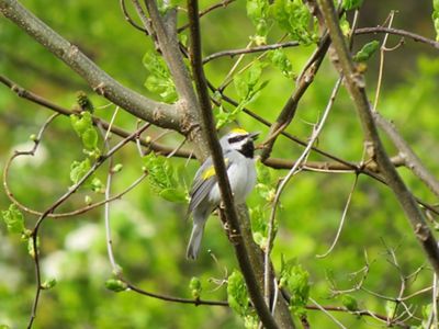
If you arrive during the late spring and early summer, listen for the lively song of Indigo Buntings or the buzz of Golden-winged Warblers along the power line right-of-way near the trailhead. Chestnut-sided Warblers and Cerulean Warblers can also be found at this site. Ovenbirds, Scarlet Tanagers and Black-and-white Warblers are abundant summer breeding songbirds in the area but also listen for the less common Blue-headed Vireo and Rose-breasted Grosbeak.
Interpretive signs along the trail provide an overview of the natural history of the area. The trail culminates with a lookout point offering stunning views of Shenandoah Mountain and across the Cowpasture River valley and offers the opportunity for viewing the fall migration of Broad-winged Hawks and other raptors.
There are many species of butterflies and moths to observe in spring and summer. In the early spring, look for pink lady-slipper orchids, mayapple, bloodroot and other spring ephemeral wildflowers along the trail. Visitors are advised that the trail is a moderately strenuous uphill hike towards the lookout point, but then an easy downhill hike on the return.
This hike is part of the Virginia Department of Wildlife Resources' Birding and Wildlife Trail James Loop.
-
At the southern end of the preserve, park at the small gravel lot on Route 703 (Airport Road) just past the south entrance to Bald Knob. Cross the paved road to the gravel Bald Knob service road and you will find the trailhead for the Sandy Gap Trail.
Built by the Civilian Conservation Corps in the 1930s, this 3.2-mile one way trail (6.4 miles out and back) features tranquil vistas and unique stone work, travels through the George Washington National Forest, and connects to the Douthat State Park trail system.
The trail winds through the 18,000 acre Warm Springs Mountain Restoration Project, a collaborative restoration project spanning lands owned by The Nature Conservancy and the George Washington and Jefferson National Forests, where effects from land management and controlled burning can be observed. This trail can be accessed directly from State Route 703 or from Forest Road 125, in which case the views of the Falling Springs valley from the trailhead overlook make this a truly rewarding climb. Or park a car at each end and hike the trail one-way.
Geocaching: Looking for Treasure
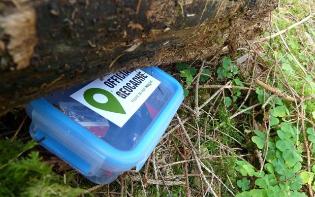
Geocaching is a fast-growing hobby that provides an exciting way to explore the landscape and share special places with other outdoor enthusiasts. Players try to locate hidden containers, called geocaches, using a smartphone or GPS, and can then share their experiences online.
A geocache can be found at Warm Springs Mountain Preserve, part of the geocaching trail along the Appalachian Waters Scenic Byway. Log on to www.geocaching.com to set up a free account.
Start Your Treasure Hunt
What's Nearby
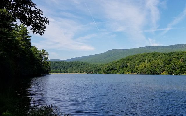
Ready to continue your adventures? Read on for our insider tips for getting the most out of your visit to the Allegheny Highlands
Go (South)East: Douthat State Park enjoys a growing reputation as one of Virginia’s premier destinations for mountain biking. After a day of riding or hiking, cool off with a relaxing dip in the lake during the warmer months. You can even hike to Douthat from Warm Springs Mountain via the Sandy Gap Trail.
Go West: Camp at Hidden Valley Recreation Area and explore wildflower meadows, the Jackson River and Civil War history in this special corner of the George Washington National Forest. In addition to camping, Lake Moomaw offers exceptional scenery, fishing and boating.
“Come to Bath County and find your perfect campsite in the national forest,” says Laurel Schablein. “The kind of spot you’ll want to return to again and again—next to a babbling creek, old shady rhododendron and a few trees for stringing your hammock.”
Go North: “Fall is the perfect time to take to the winding roads that weave through charming rural towns and the unspoiled forested landscapes of the Allegheny Mountains,” Laurel says. “Continue to the northernmost point of the Warm Springs Ranger District and you’ll reach the remote, one-of-a-kind Laurel Fork. Characterized by high-elevation Northern hardwood forest and montane red-spruce, it’s perhaps the most tranquil place you’ve ever been.”
Eat & Drink: The historic Omni Homestead in Hot Springs offers fine dining, along with plush accommodations for non-campers. Craft brews and a more casual atmosphere can be found nearby at Bacova Beer Company. In Warm Springs, the Inn at Gristmill Square’s Waterwheel Restaurant features elegant dinners, a wine cellar, and a cozy pub.
Additional Resources
Places We Protect
Experience and enjoy TNC's public preserves in Virginia.
Warm Springs Mountain is a keystone tract that helps stitch together one of the largest undeveloped landscapes on the East Coast, offering opportunities to practice conservation at a remarkable scale. A 13-mile border in common with the George Washington National Forest allows for collaboration and resource sharing.
KEY PARTNERS
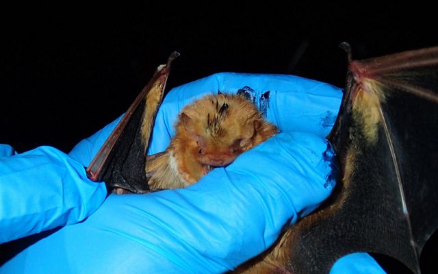
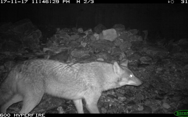
Warm Springs Mountain Preserve also provides a living laboratory where new science is developed to gain insight about the plants and animals of the Central Appalachians region.
Key Academic Partners
The Allegheny Highlands program has collaborated with VCU on avian studies to track the migration of golden-winged warblers and cerulean warblers as well as developing proposals for land management studies for the benefit of golden-winged warblers and other wildlife.
We also work closely with faculty and students from Virginia Tech to facilitate research and provide access to the 10,000 acre preserve.
Recent and ongoing research has included studies to determine the distribution and habitat use of eastern spotted skunks in western Virginia; a comprehensive bat research and monitoring program on Warm Springs Mountain Preserve and the adjacent George Washington National Forest (funded by the national Joint Fire Science Program); estimating population abundance and determining habitat use and movement patterns of coyotes (Canis latrans) in the Warm Springs Mountain Preserve and surrounding National Forest, state, and private lands in Bath County; and studying the predation and scavenging behavior of bobcats, bears, and coyotes on white-tailed deer and the implications of that behavior on white-tailed deer populations.
Support the Allegheny Highlands Program with your eyes, ears and muscles!
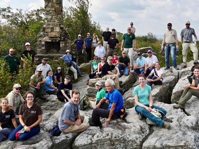
Virginia's Preserve Volunteer Community Program provides a vital service to help up maintain and monitor our public preserves across the state, including our 10,000 acre Warm Springs Mountain Preserve.
How can you get involved?
- Community Members—become involved with a preserve without committing time to stewardship work. Receive periodic updates about the preserve and special events.
- Preserve Stewards—visit a preserve at least four times a year to assess trail and preserve conditions and perform basic trail maintenance by removing fallen branches and overgrown vegetation.
- Preserve Leaders—demonstrated commitment to the preserve and willingness to take on additional responsibilities like managing communication & scheduling, leading workdays, guiding naturalist hikes.
Please contact the Virginia Volunteer Program by email vapreservestewards@tnc.org to receive further information.
