Description
Warm Springs Mountain Preserve helps stitch together thousands of acres of forest and conservation lands in western Virginia’s Allegheny Highlands. The preserve anchors our efforts to protect and restore a key wildlife corridor and habitat for an amazing diversity of natural communities, plants and animals.
Situated within a 77,000-acre unfragmented, largely roadless forest block, the preserve helps maintain healthy, breeding populations of interior-forest-dwelling songbirds, provides key habitat for wide-ranging mammals, and protects headwater tributaries of both the Jackson and Cowpasture rivers.
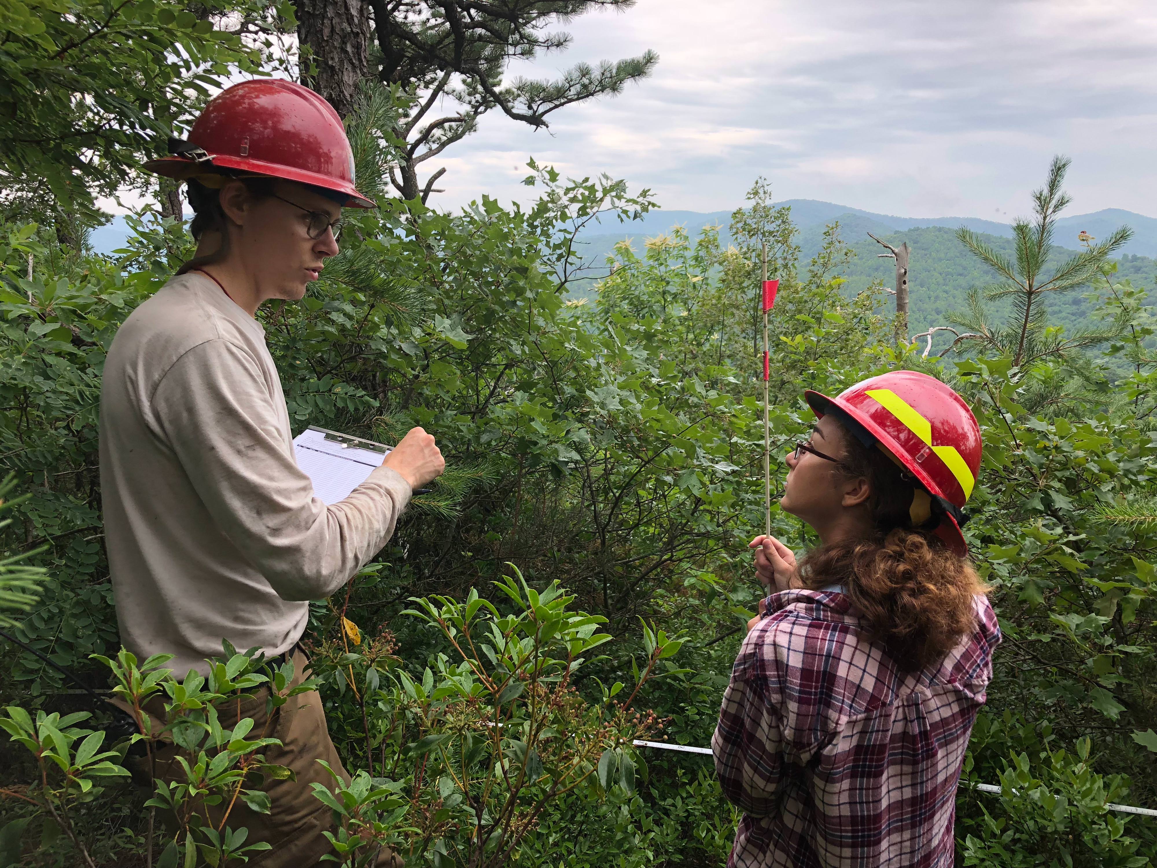
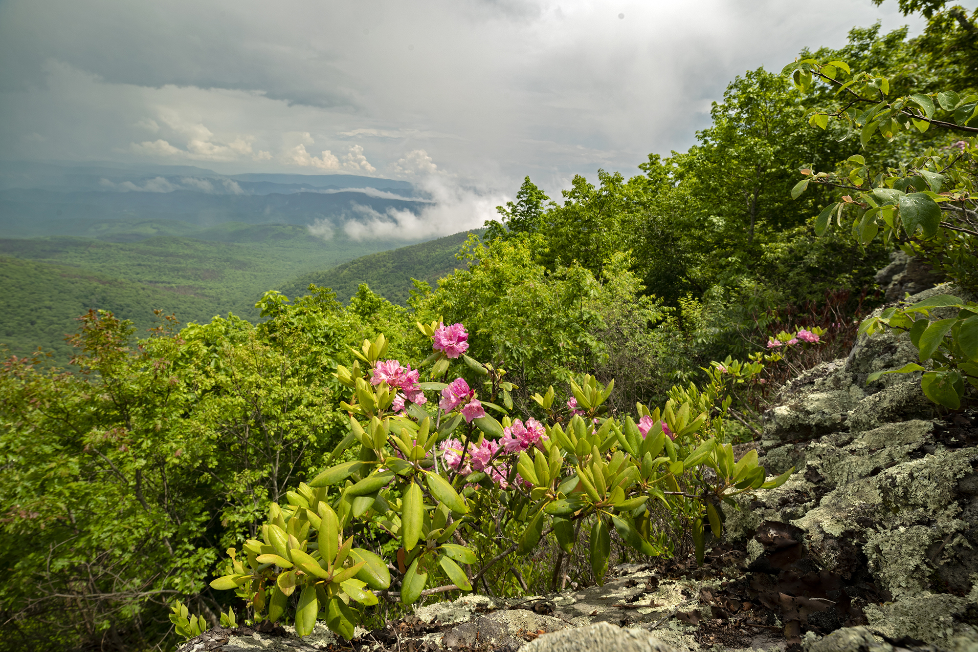
The preserve features Virginia’s only substantial montane pine barren, a globally rare, arid, fire-dependent landscape. The mountain harbors at least two other rare natural communities, three rare plants and eight rare invertebrates.
Check out recent species observed at Warm Springs Mountain Preserve on iNaturalist.