Conserving Climate-Resilient Landscapes in the Heartland
The Nature Conservancy has created a scientific roadmap for protecting nature and its benefits in a changing climate.
A Changing Climate
Our climate is changing and, along with it, so are the habitats that plants and animals rely on to thrive. In an uncertain future, how do we help them, and ourselves, survive?
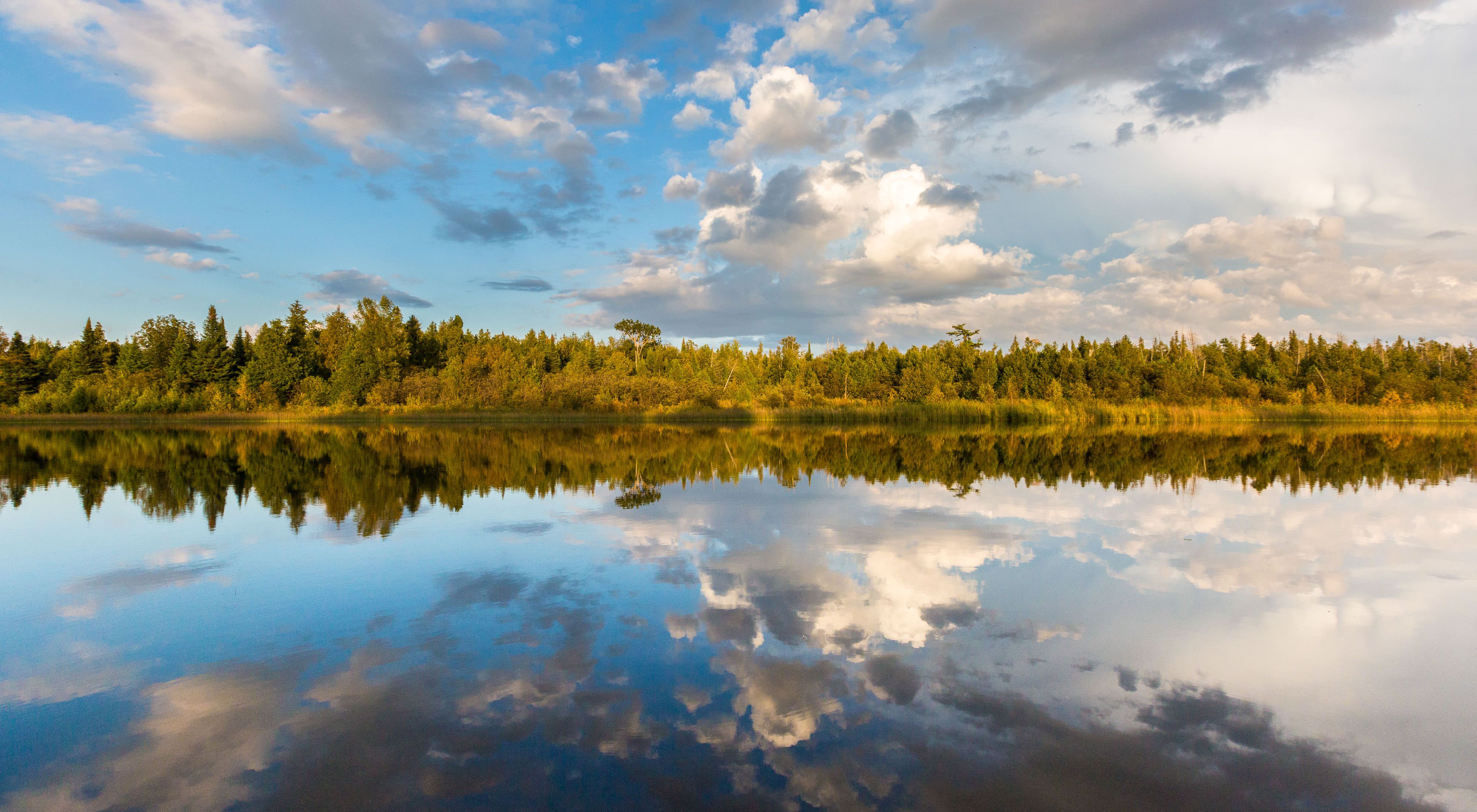
Over the past ten years, Nature Conservancy scientists have identified and mapped a network of landscapes and connecting corridors across the continental United States that provides a roadmap for conserving places where plants and animals can move and thrive in a changing climate. But nature isn’t the only beneficiary of this work. From iconic forests and scenic lakes and rivers to sweeping grasslands and lush wetlands, the lands and waters that define the nation’s heartland have sustained people for millennia.

In fact, the Heartland holds special significance. The Midwest states of Illinois, Indiana, Michigan, Ohio and Wisconsin are home to more than 10 percent of the nation’s population—a diverse cross-section of America shaped by the globally-important Great Lakes and Mississippi River systems. These freshwater sources provide an estimated 45 million people with drinking water and are the lifeblood of agriculture, manufacturing, shipping and recreation industries that power economies regionally and worldwide.
Our well-being is intricately tied to nature’s future.
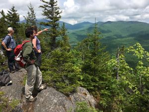
Here are a few of the Midwest landscapes where we are advancing conservation to help ensure plant and animal species have the best chance to survive amidst growing climate threats—allowing nature and people to prosper together.
Wisconsin's Kettle Moraine Region
Wisconsin’s Kettle Moraine region was shaped by glaciers during the last ice age and contains a wide range of glacial features from large kettle lakes to 300-foot-high ridges. This north-south corridor, with a diverse collection of plant communities including oak woodlands and savannas, prairies, bogs and fens, isimportant for maintaining biodiversity as species adjust to climate change. Rivers in the Kettle Moraine, like the Mukwonago River where TNC has been an active conservation partner since 1983, are corridors for species movement as conditions change over time.


Illinois River Corridor
For 273 miles, the Illinois River winds its way south and west across the state before joining with the Mississippi. Beginning at the confluence of the Des Plaines and Kankakee Rivers near Midewin National Tallgrass Prairie, the Illinois is fed by tributaries including the Fox, Spoon and Mackinaw. The Illinois is a vitalcorridor for migratory birds, but also species adapting to climate change. The uplands drop to the river’s floodplain, dissected by countless ravines, creating diverse habitats and microclimates that support a rich diversity of plants and animals able tomove between different areas as the climate changes.


Stay connected for the latest news from nature.
Get global conservation stories, news and local opportunities near you. Check out a sample Nature News email
Indiana Sugar Creek Corridor
Deep ravines, canyons and cliff faces characterize the landscape within the Sugar Creek valley in west central Indiana. TNC has been working in the area for more than 50 years; in fact, Sugar Creek meanders through Pine Hills Nature Preserve in Montgomery County, TNC’s first acquisition in Indiana more than 50 years ago. The Indiana Chapter has been working to enhance water quality in Sugar Creek by protecting the relatively large forest blocks surrounding it.


Michigan Michigamme Highlands
The Michigamme Highlands are located within some of the largest remaining unbroken swaths of hardwood forest in North America. These rich forests moderate regional climate, store carbon, filter the headwaters of the Great Lakes, provide wildlife habitat and support timber, recreation, and tourism. The Nature Conservancy’s Wilderness Lakes Reserve, located within the Michigamme Highlands, is managed as an active forest reserve, demonstrating sustainable forestry practices, and enrolling the property in carbon markets.


Ohio Strait Creek Prairie Bluffs
Southern Ohio’s Strait Creek Prairie Bluffs is a beautiful and mysterious expanse of native grassland and forest located at the northern end of the Conservancy’s Edge of Appalachia Preserve System. The site is a fascinating geologic anomaly caused by an ancient meteorite impact that occurred here hundreds of millions of years ago, creating the mosaic of plant communities that you see today. Strait Creek is also one of the few remaining places in Ohio where sweeping views of intact, native prairie are not disrupted by roads or other development.


Protecting resilient and connected landscapes in the Heartland will take a big picture approach and collaboration. The Nature Conservancy has made its online mapping tool available to the public; it is one piece of the puzzle that will help better inform the decisions we make about where to invest in conservation.
TNC is working collaboratively across state lines and with Indigenous peoples, land trusts, public agencies and corporations to conserve places identified as resilient and restore those that are vulnerable. Because we know that every acre protected, every forest or farmland managed sustainably, every floodplain reconnected, every wetland restored, every expanse of invasive species removed contributes to healthier natural areas—and healthier communities.
Resilient & Connected Network
Protecting climate-resilient natural highways and neighborhoods.
Related Stories
Natural Highways and Neighborhoods: Conserving a Network of Climate-Resilient Lands
This remarkable new mapping tool provides a roadmap for conserving places where plants and animals can thrive in a changing climate.
Saving the Future for Biodiversity
As species keep moving to escape the growing threats of climate impacts, Nature Conservancy scientist Dr. Mark Anderson says conservationists should focus on their future habitats. A new mapping tool shows how to protect climate-resilient natural highways and neighborhoods.
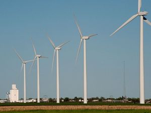
Site Renewables Right
To help accelerate the deployment of wind and solar energy in a way that helps people and nature thrive, The Nature Conservancy is providing the award-winning Site Renewables Right map.