Stretching across more than 1.245-million square miles, 31 states, and two Canadian provinces, The Mississippi is the fourth largest river in the world. These maps help to illustrate the river’s reach, our efforts to control it and the impacts from its flooding on the people who live in its floodplain.
Letting the River Run
As floods throughout the Mississippi River Basin become more destructive, communities are changing tactics to give the water a place to go.


The Mississippi Basin
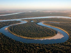
The Mississippi is the meeting point of 7,000 rivers, creeks and streams flowing through 31 states. It is a connector, branching out to cover 40 percent of the continental United States. It is also incredibly diverse. At least 260 species of fish live in the Mississippi River, and 60 percent of all North American bids use the Mississippi River Basin as their migratory flyway. For generations, these waters have defined landscapes and shaped cultures. But climate change is driving unprecedented floods and forcing many to rethink how they live with the river.


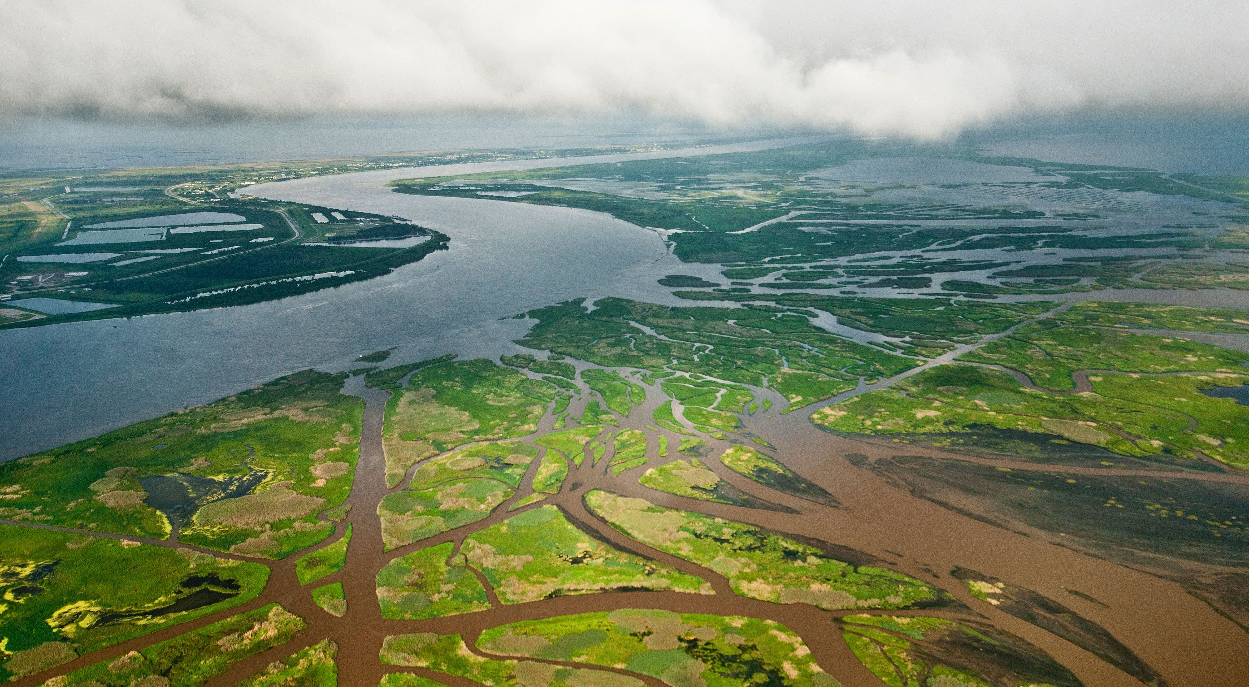
The Mississippi Delta
The map above shows the relative frequency of inundations and floods that occurred during spring and winter over 35 years. The trends reveal the footprint of the Mississippi’s floodplain. Also shown are the thousands of miles of levees built to contain the rivers. The basin’s main levee system is comprised of 2,203 miles of levees, floodwalls, and control structures. More than 1,600 of those miles line the Mississippi, and nearly 600 lie along the south banks of the Arkansas and Red rivers in the Atchafalaya Basin.


Cairo, Illinois
The map above shows the frequency of inundations near the point where the Ohio River (east) and the Mississippi River meet. The area is mostly farmland, and many farmers have started selling their land because it is too risky to continue farming there.


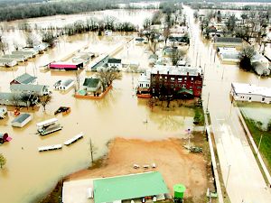
St. Louis, Missouri
The Mississippi River runs through the city of St. Louis, and it is the cause of frequent floods in densely developed and inhabited areas.
More Stories
Natural Solutions for Flooding
Restoring floodplains is a key strategy for communities grappling with annual flooding along the Mississippi River from Iowa to Missouri to Louisiana.
Letting the River Run: Using Nature to Decrease Mississippi River Flooding
As floods throughout the Mississippi River Basin become more destructive and unpredictable, communities are changing tactics to give the water a place to go.
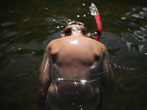
How The Water Shapes Us
A collection of photography from around the Mississippi River Basin that depicts what life is like in disparate parts of this important and vast river system.