A New Roadmap for Conservation
How mapping technology is helping achieve sustainability in Mexico’s forests
Mexico boasts some of the world's most magnificent landscapes and an incredibly rich cultural heritage. Much of the wealth of this megadiverse country is housed in its 64 million hectares of forests, which cover nearly a third of its territory. These lands have supported human life for millennia, giving rise to great civilizations like the Aztecs and Mayans, whose descendants still live off the land today.
Around the world, The Nature Conservancy (TNC) has gained a reputation for putting science and the latest scientific tools at the service of people and nature. One example is our work in Mexico’s Maya Forest, a stretch of 15.4 million hectares of tropical forest, where cartographic technology is helping achieve balance between human development and nature.

In the Maya Forest, Mexico’s largest stretch of contiguous forest, people and nature have coexisted for millennia, with varying degrees of tension. Today, despite expanding deforestation, forest degradation and a range of climate change-related challenges, it continues to be the life source of millions of local farmers and their families. It is also an economic driver for a thriving tourism industry and a vital source of food and resources for a growing population.
For TNC, the Maya Forest presents a unique opportunity to showcase economic and human prosperity alongside healthy ecosystems—an example of truly sustainable development.
Getting to this point has not been easy, though.
For a long time, conservation has been viewed as incompatible with economic growth and prosperity, and lack of coordination between the agricultural and environmental sectors has created competing priorities within the same landscapes. As a result, Mexico loses 180,000 hectares of forest per year, which contributes to climate change, reduces water resources, threatens biodiversity and undermines the livelihoods of rural and indigenous communities that depend on natural resources for their food, medicine, shelter and energy.
The primary drivers of deforestation throughout the country are extensive and inefficient rural productive systems, which are shaped by public incentives. In most recent years, Mexico has invested USD 30 billion per year on average in rural development subsidies, making these incentives the basis of land-use decisions and activities. Given their scope and influence, it is paramount to align these public programs with sustainable development goals to conserve Mexico’s natural capital for present and future needs.
Quote
In most recent years, Mexico has invested USD 30 billion per year on average in rural development subsidies, making these incentives the basis of land-use decisions and activities.

One tool we have for doing this is maps. Maps can generate the information necessary to craft policies that advance more sustainable development. As part of TNC’s initiative to reach net-zero deforestation by 2030 in the region through the Yucatan Peninsula Framework Agreement on Sustainability, we have partnered with public agencies to develop two complementary, groundbreaking maps.
These production and conservation mapping tools provide footing for our initiatives, helping conserve forests, while promoting sustainable intensification of agricultural and productive activities. One mapping tool shows us where it is critical to conserve forests, while the second can help determine where efforts and investments will generate the highest returns in terms of productivity and food security without continuing to expand the agricultural frontier. Together, they can catalyze this unprecedented initiative and promote sustainable rural development throughout the country based on a data-driven, scientific approach.
First is the High-Resolution Reference Map, (asset is in Spanish) which is based on satellite imagery and shows on a scale of 1: 20,000—down to a mapping unit of half a hectare—where forests are present or absent. It is the result of a working group combining official data from the environmental, agriculture and forestry ministries into a single cartographic platform that displays what is on the ground with 90% certainty, updated every two years.
The second tool, known as the Sustainable Production Zoning Map, complements the previous one by indicating open areas where agricultural production can be intensified without expanding into standing forests. It displays areas of highest productivity potential for 19 different crops, including soy, corn and beef, based on variables such as climate, topography, soil and multiple systems of production, from large-scale monocultures to the traditional milpa system of staple crop diversification for local and family consumption. It also maps forested areas to show the priority areas for conservation, as well as areas with the highest potential for forest management.

But why are these mapping tools so important?
By providing extremely accurate and relevant data to all stakeholders involved in land use, production and conservation, mapping tools can help change the way decisions are made around urban growth, agriculture, ranching and more, all in a way that promotes forest conservation. For communities, industries and governments, and every player in between, they are precision instruments for designing activities while complying with laws and commitments to protect forests and contribute to a deforestation-free economy.
Diverse government agencies in Mexico will be able to draw information from the maps to align oftentimes competing programs and target agricultural and forest conservation subsidies toward areas best suited to each activity. The environmental ministry and forestry commission (SEMARNAT and CONAFOR) can use the High-Resolution Reference Map to direct public programs and incentives toward areas critical to forest protection and restoration based on criteria that mapping technology can detect on the ground. Mexico’s agriculture ministry, SAGARPA, can simultaneously use both maps to direct subsidies to areas of high-productivity farming that pose lower threat of deforestation.
The maps can also steer sustainable and sound activities in the private, financial and social sectors. Food industry stakeholders in the region can use them to ensure efficient, productive and deforestation-free supply chains to meet standards and pledges. Meanwhile, development banks and trusts can define eligibility zones for green credit lines, and reduce risks associated with lending, based on scientifically-backed productivity data.
“Our work developing these conservation mapping tools in the Mayan Forest is at the leading edge of monitoring and landscape planning tools,” says Justin Adams, managing director for Global Lands at the Conservancy. “Providing this kind of data to governments and businesses enables them to make better choices about how they balance production and protection in a landscape.”
Ultimately, local communities, too, benefit from these tools—providing this information helps them to guide their productive activities based on the most adequate uses for their land without sacrificing forests and their natural capital.

The production and conservation mapping tools have been developed initially for the Yucatan Peninsula and parts of southern Mexico, covering around 40% of the country’s territory. For the past five years, TNC has articulated multiple strategies to promote sustainable development in this region, from empowering communities to steward their lands more sustainably to promoting policy-level action and activating green markets, and these maps can help us to execute all these strategies more effectively.
In fact, this cartographic technology has the potential to scale nationally, charting a path toward a sustainable future in Mexico and beyond.
Resources
-

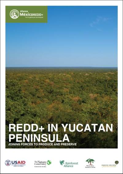
Policy Brief - REDD+ in Yucatan Peninsula
Learn more about our collaborations in the Yucatan Peninsula—the three states of Campeche, Quintana Roo and Yucatan—to build a new path for growth.
DOWNLOAD -

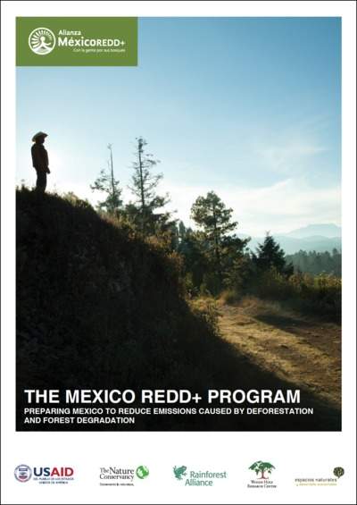
Policy Brief - The Mexico REDD+ Program
Learn more about how the Mexico REDD+ program has prepared Mexico to reduce emissions caused by deforestation and forest degradation.
DOWNLOAD -

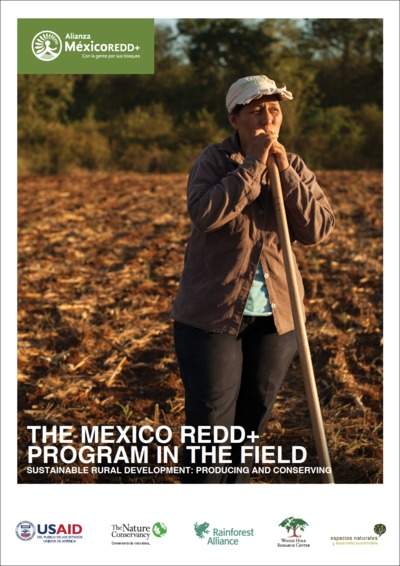
Policy Brief - The Mexico REDD+ Program in the Field
Learn more about how our work on the ground has helped steer Mexico towards sustainable rural development in production and conservation.
DOWNLOAD
To learn more about The Nature Conservancy’s strategies to conserve forests and help communities thrive in Mexico and the Yucatan Peninsula, including the use of scientific tools like state-of-the-art maps, visit Alianza MexicoREDD+.
Global Insights
Check out our latest thinking and real-world solutions to some of the most complex challenges facing people and the planet today.


