Description
Tiger Creek Preserve is a place of mystery and contrasts. It sits on the eastern edge of the Lake Wales Ridge, one of Florida’s ancient islands. Separated from the mainland long ago by a shallow sea, the Ridge is peninsular Florida’s oldest and highest landmass.
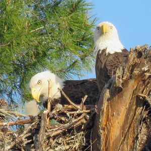
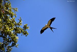
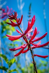
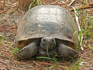
Fast forward to the present day, this ancient separation is the reason why the preserve has one of the highest concentrations of threatened and endangered plants and animals in the country. Some exist nowhere else on Earth.
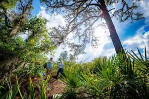
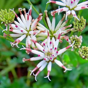
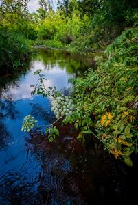
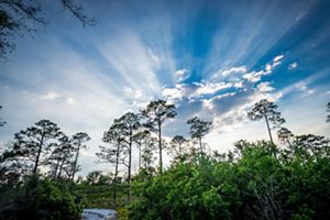
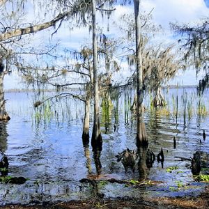
Over 10 miles of hiking trails are open year-round, offering visitors an ever-changing array of wildflower blooms, wildlife viewing possibilities and opportunities to enjoy the solace of nature. Named after the pristine blackwater stream that forms its spine, the preserve contains hardwood swamps, hammocks, scrubby flatwoods, pine flatwoods, sandhill and longleaf pine/wiregrass habitat. It’s a land that must be burned in order to survive, and one where some animals literally swim through ancient white sands.