
- Phone: 717-232-6001
- Email: pa_chapter@tnc.org
-
Follow


A vital link in the 1,500-mile-long Appalachian Mountain Range.
Blue Mountain, Kittatinny Ridge, Endless Hill, Great Mountain. There are many names for the remarkable ridge that forms a 185-mile curving spine through Pennsylvania, from the Mason-Dixon line to the Delaware River Gap
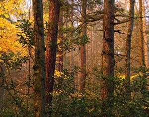
The Kittatinny Ridge is part of an unbroken chain of forested mountains forming a vital link in the 1,500-mile-long Appalachian Mountain Range—a mosaic of rugged topography and varied elevation that makes it one of the most diverse habitats on Earth.
_1640x1230.jpg)
Identified as the most resilient landscape in the state for adapting to climate change, this forested corridor provides an incredibly biodiverse superhighway that allows wildlife to move safely within and between climate resilient neighborhoods to escape rising temperatures, increased floods or drought. It has been identified by scientists as critical to the future of hundreds of animal and bird species amid a changing climate.
TNC is a lead partner in the Kittatinny Ridge Partnership, a coalition of NGOs, county, state and federal partners, local conservation groups, education partners and local recreation clubs and chapters. The coalition exists to combine resources, set collective goals and create a shared vision for a rugged and protected Kittatinny Ridge corridor for both people and nature. TNC’s primary role in the coalition is to protect priority parcels of land along the Ridge through direct acquisition and easements.
In February 2021, TNC completed the purchase of 1,200 acres of land adjacent to TNC's Hamer Woodlands at Cove Mountain, filling a gap between existing conservation lands and completing a 14-mile protected corridor along the Kittatinny Ridge.
This once in a generation opportunity creates a model for landscape scale land protection and management in the Central Appalachians and will preserve habitat in one of the most important wildlife corridors in the northeastern United States.


Why It Matters: Resilient and Connected Landscapes
Landscapes with diverse physical characteristics—such as steep slopes, tall mountains, deep ravines and diverse soil types—create numerous microclimates that offer plants and animals the opportunity to move around their local neighborhood to find suitable habitat. Connecting corridors, or natural highways, allow species to move safely within and between these climate-resilient neighborhoods. Contiguous mountain chains like the Kittatinny Ridge provide many of these conditions.

TNC’s Resilient and Connected Landscapes project is the first study to comprehensively map resilient lands and significant climate corridors across North America. Released in October 2016, the study took eight years to complete, involved 60 scientists, and developed innovative new techniques for mapping climate-driven species migrations. The study now drives conservation strategies at both TNC and with myriad partners who are working to conserve lands and waters at a continental scale.
As warmer temperatures, increased flooding and other climate impacts alter and destroy habitat, scientists believe resilient landscapes like the Kittatinny Ridge will be strong enough to continue providing safe places for diverse plant and animal species, while also providing clean drinking water, economic income and other vital services people rely on for survival.
The Kittatinny Ridge was also designated as a Conservation Landscape by the Pennsylvania Department of Conservation Natural Resources, making it one of eight large regions across Pennsylvania working together to drive strategic investment and actions around sustainability, conservation, community revitalization and recreational projects.
Quote: Lori Brennan
If we work to keep places like the Kittatinny Ridge protected, connected and strong, they will keep nature thriving.
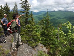
What We're Doing: Safeguarding a Wildlife Superhighway
To safeguard the Kittatinny’s mostly intact wildlife superhighway, TNC is working with landowners and partners to protect 15,000 acres of the most critical, connected lands on and next to the ridge over the next three years.
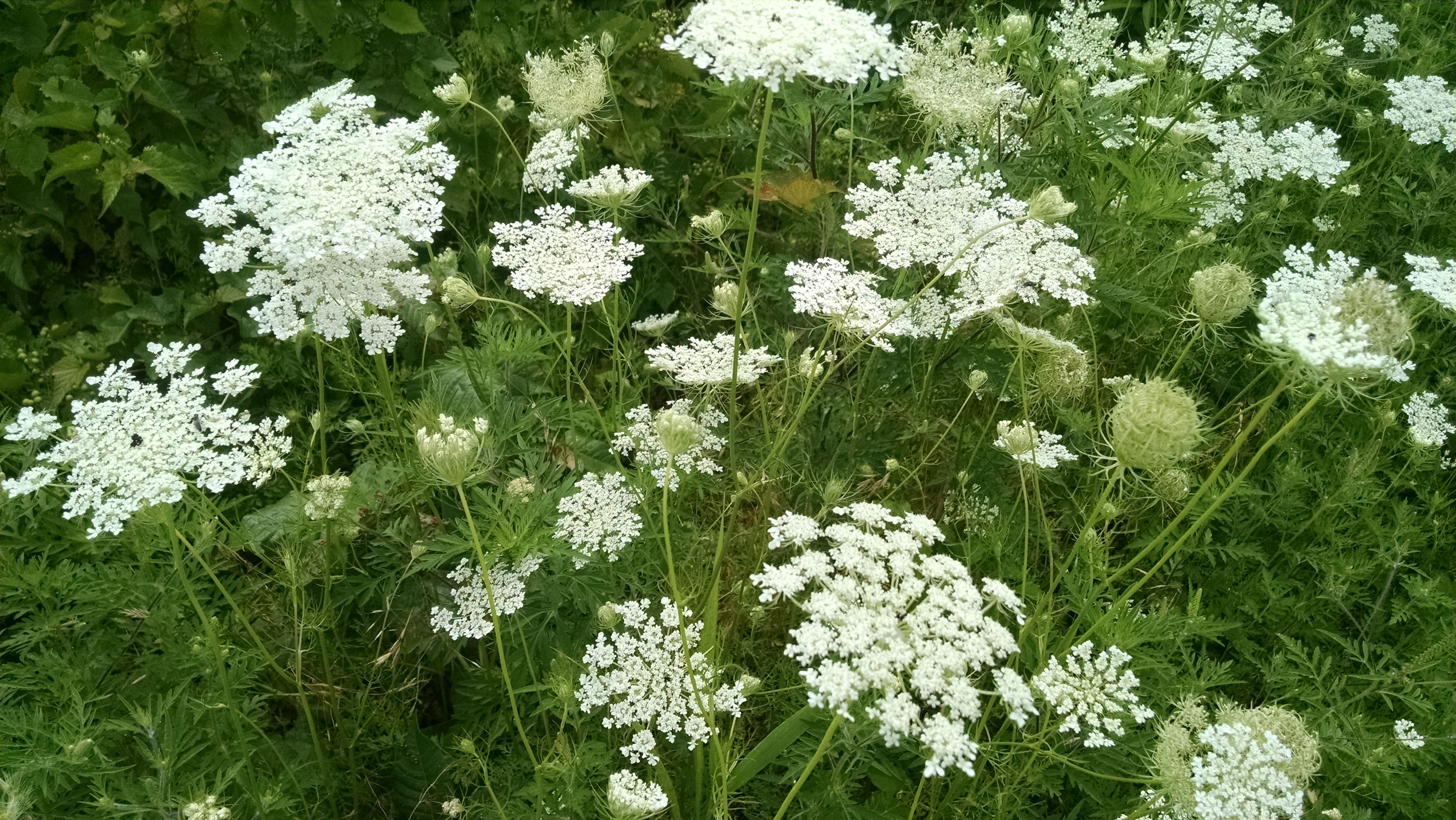
A large array of species already use the ridge as a yearly migratory corridor, including broad-wing hawks, kestrels, ruby-throated hummingbirds, eastern bluebirds, monarch butterflies and cerulean warblers, for which it has been designated a Globally Important Bird Area.

At least nine species of bats live on the ridge as well as other mammals that require wide ranges of intact forest as habitat, including black bears, bobcats and fish. The Kittatinny Ridge is also home to the Allegheny woodrat, which is listed as threatened in the state of Pennsylvania.
In addition to the Hamer Woodlands at Cove Mountain expansion, TNC completed two land transactions in 2020 protecting 359 acres. 232 acres of forestland in Letterkenny Township, Franklin County were acquired and transferred to the Bureau of Forestry to become part of the Buchanan State Forest. 127 acres of forestland in West Penn Township Schuylkill County were purchased and transferred to the Pennsylvania Game Commission and added to State Game Lands 217. This parcel is directly adjacent to the Appalachian National Scenic Trail and will help buffer and protect the wilderness experience along the Trail.
We know that nature doesn’t recognize geographical boundaries. It’s not enough to have isolated landscapes that are resilient to climate impacts. If the natural pathways between them are destroyed, many species could disappear forever, making the protection of land in places like the Kittatinny Ridge so crucial.
Download
-
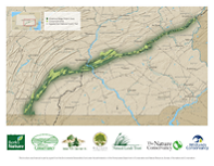 Kittatinny Ridge Map
The Kittatinny Ridge stretches for 185 miles, from the Delaware River to the Mason Dixon Line in Pennsylvania.
DOWNLOAD
Related Stories
Appalachian Forests
We are partnering with private landowners to protect and manage one of the most resilient landscapes in the world.

Hamer Woodlands at Cove Mountain
Hamer Woodlands at Cove Mountain represents TNC's first nature preserve on the Kittatinny Ridge.
Natural Highways and Neighborhoods: Conserving a Network of Climate-Resilient Lands
This remarkable new mapping tool provides a roadmap for conserving places where plants and animals can thrive in a changing climate.