Connecting Habitat for Wildlife
In New Jersey, roadway collisions are a leading cause of wildlife mortality. We're working to change that.
Where did the turtle cross the road? It may sound like a child’s riddle, but to New Jersey’s wildlife, the answer can be a matter of life or death. In our heavily trafficked state, roadway collisions are a leading cause of wildlife mortality.
The Nature Conservancy has teamed up with the New Jersey Endangered and Non-Game Species Program to implement Connecting Habitat Across New Jersey, a project to improve conditions for animals as they move around their home ranges and navigate around the dense (and dangerous) road network in our state.
To determine the most beneficial plan for wildlife, the work involves first assessing migration patterns across the landscape and identifying areas where a high number of animals are simply not making it through alive.
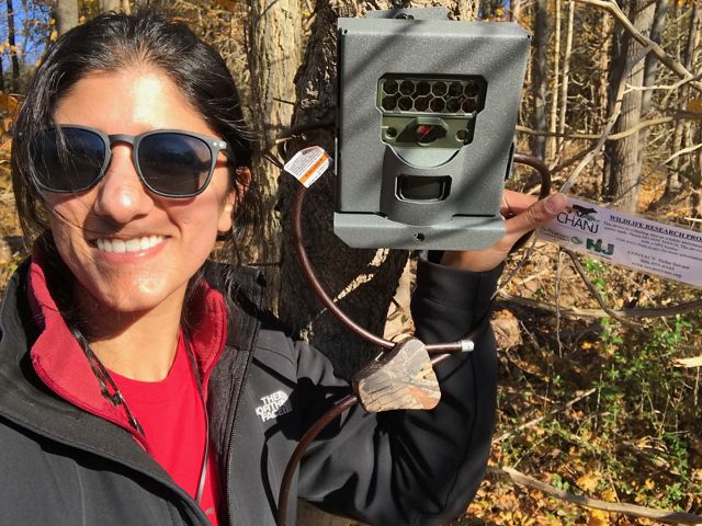
Enter Neha Savant, Land Science Specialist for TNC, roadkill expert and camera trap extraordinaire.
Neha has been a key player in 2018’s efforts, focusing in the region around the Conservancy’s High Mountain Park Preserve and Bobcat Alley regions in northwestern New Jersey.
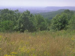
These key areas are part of a larger plan to protect critical wildlife habitat by connecting preserved land between two great mountain ranges: the Appalachians and the Highlands. The protected greenway will be a place where wildlife, like endangered New Jersey bobcats, can roam and reproduce.
And yes, we did just call Neha a "roadkill expert." Curiousity piqued? Ours too, so we sat down with Neha to hear more about her role in the Connecting Habitat Across New Jersey program.
Interview with a Roadkill Expert
TNC: Tell us a little about your work?
NS: New Jersey’s roads impede safe wildlife movement. State biologists have created a model to locate potential wildlife migration corridors, particularly in relation to vehicle traffic. My job is to ground-truth their findings through roadkill surveys and camera traps that identify where animals cross successfully, and how they use structures like culverts and bridges. It’s a collaborative process with many partners.
TNC: What else?
NS: We’re also collecting DNA samples to study the genetic connectivity of native mammals and determine how our streets and highways influence the movement of different species over time. I’m especially interested to see how road density and volume affect genetic patterns, for example, does Route 80 isolate the gene pools of bobcats and foxes living on opposite sides?
TNC: Why is this project important?
NS: This data will allow us to scientifically prioritize where to focus our efforts to decrease wildlife mortality and increase habitat connectivity across roads. For larger animals that have few offspring, like bears and bobcats, and for those that have low juvenile survival rates, like turtles and amphibians, road mortality can be detrimental to the long-term survival of their species in New Jersey. Plus, nobody wants to hit an animal while driving!
Critter Crossings
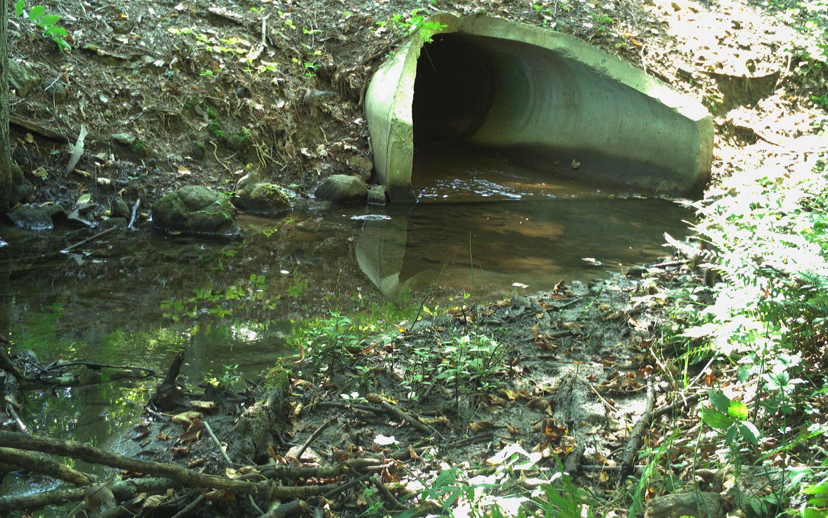
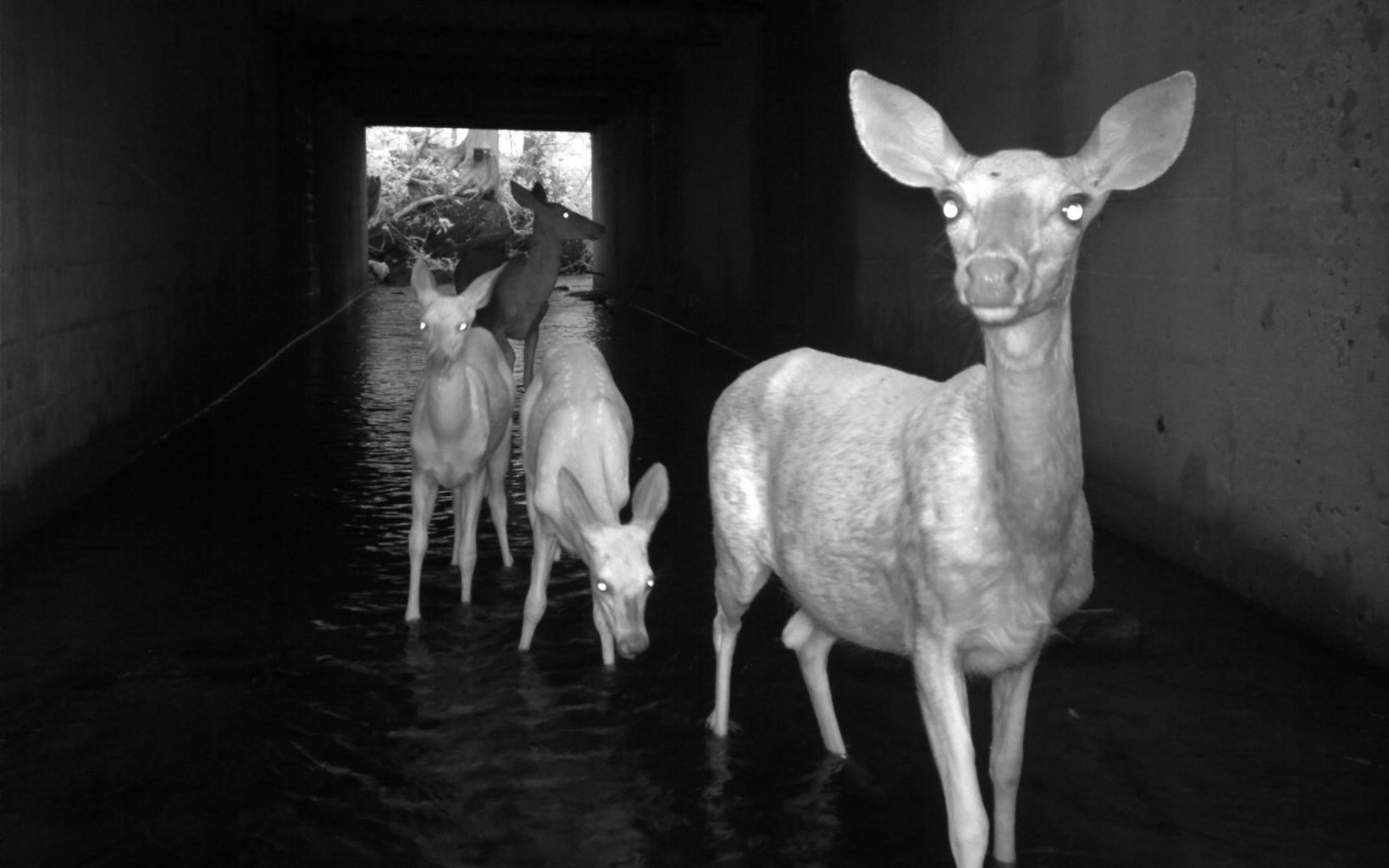
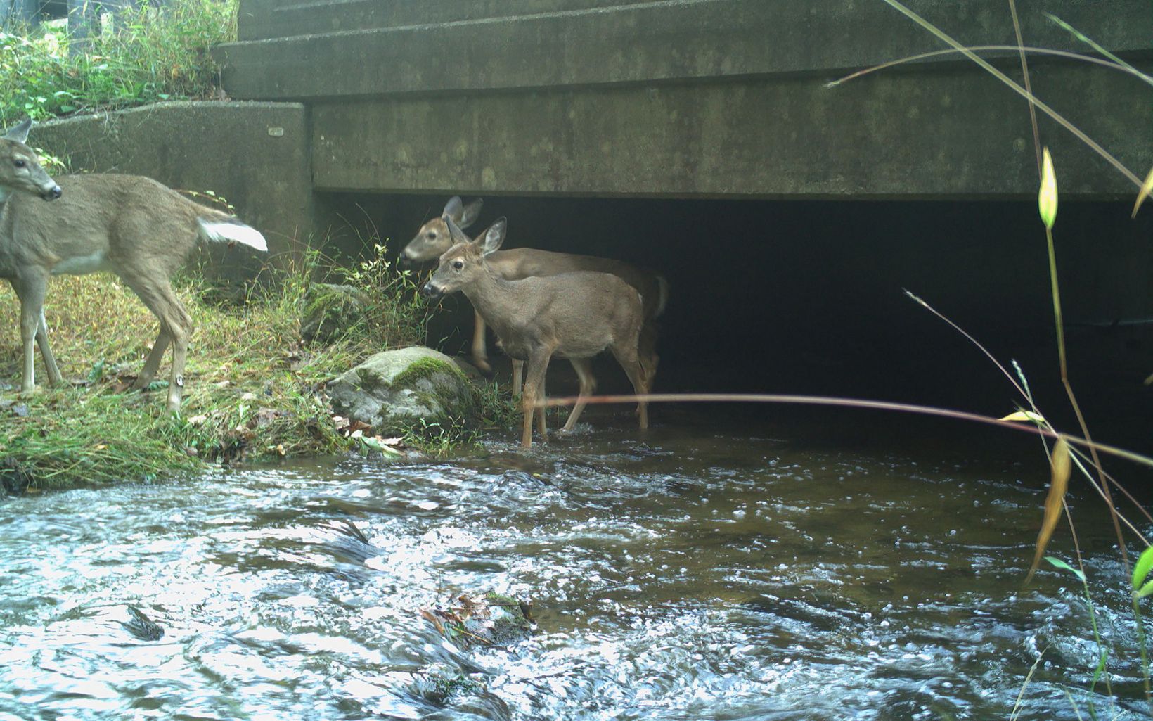


What can be done to help wildlife in New Jersey?
NS: There are many ways we can help wildlife move around more safely. Adjusting speed limits, adding crossing signs, constructing culverts and overpasses that accommodate wildlife passage, even closing certain roads during peak migration times.
You must have stories…
NS: Yes! On my very first day in the field I visited a “predicted” wildlife crossing hotspot and a full-grown bobcat walked right in front of me! That was pretty exciting. People are some of my most interesting encounters though. They are always curious about wildlife and the work, in a good way.
Are there any early results or data you can share?
NS: Definitely! From May to October 2018, there were a total of 266 animal observations (both live and dead) in Bobcat Alley and 44 in High Mountain, for a total of 312 observations. Of these 312, 147 (47%) were found on mapped CHANJ segments. Most of the animals observed were mammals (189), followed by reptiles/amphibians (86), birds (35) and two observations were unknown. The coolest observation for me was a short-tail weasel (aka an ermine)!
We’ll be using this data in a hotspot analysis that will rank road segments based on concentration of roadkill. Ultimately, the CHANJ team will use this data in a report analyzing wildlife usage of existing roads, culverts, and bridges. This report will also recommend conservation actions – including targeted land protection, creating new crossing structures, or retrofitting culverts to make them more appealing for species to use them instead of crossing roads directly. The data and this report will inform future planning by state and local transportation officials and hopefully bring us closer to a future where wildlife can move across New Jersey freely without fear.


