The Freedom of Flow
One tiny creature spurs big change in reconnecting our rivers to the sea.
This page was updated on November 18, 2020.
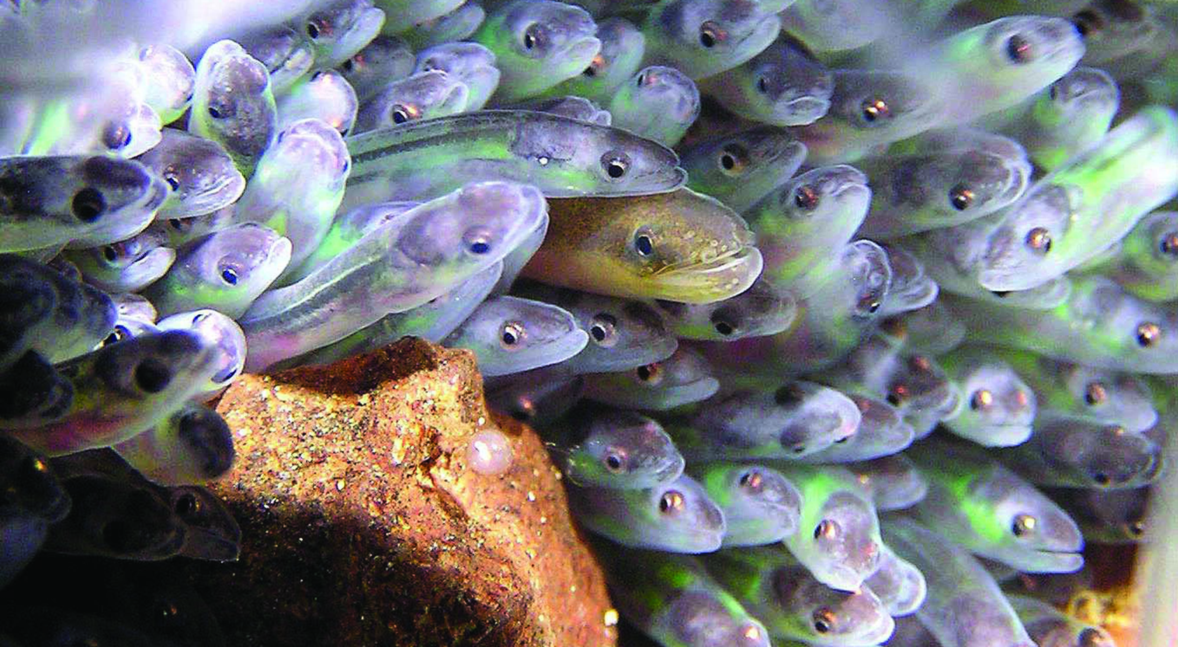
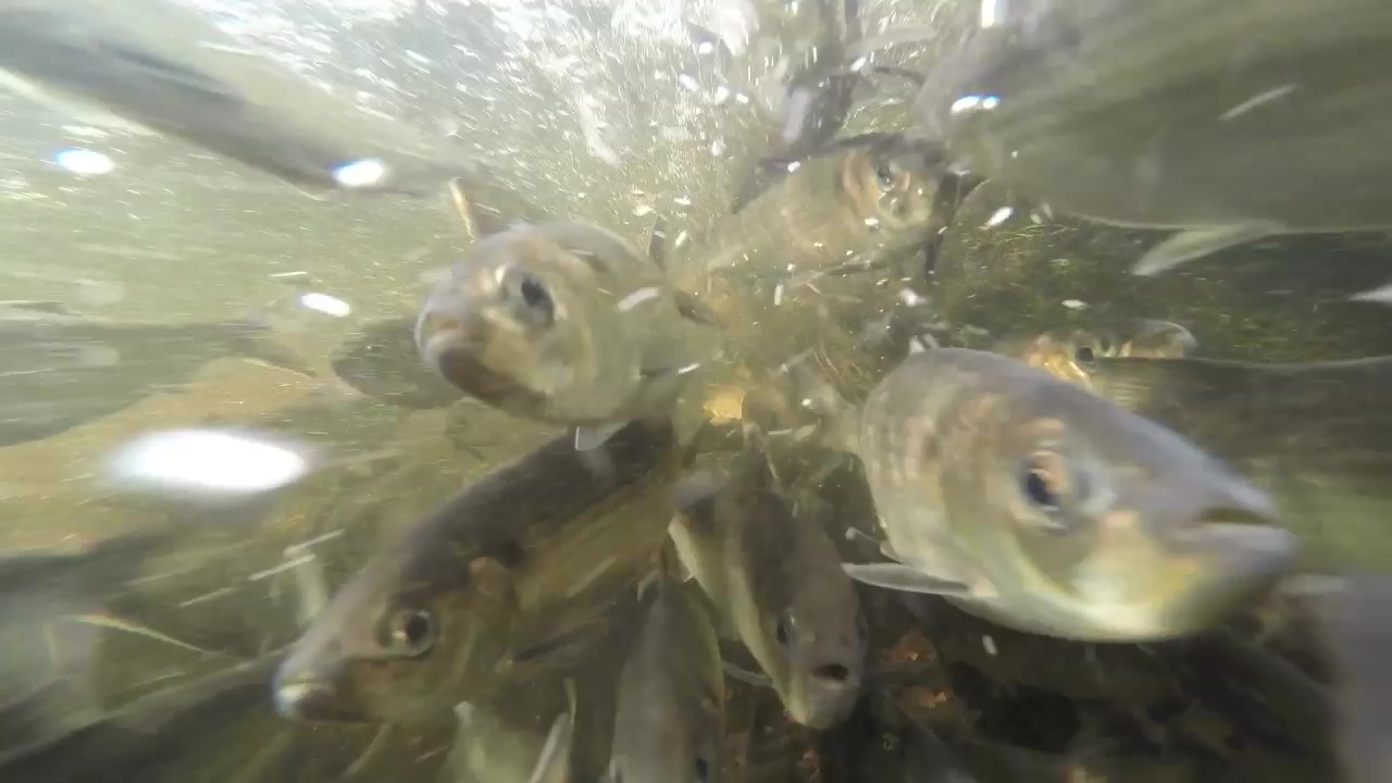
You have to look carefully, but if you stop along the edge of Bay Road in Newmarket where it crosses over Lubberland Creek, you can peer into Great Bay’s estuary waters and, if the timing is right, catch sight of a cluster of tiny glass (American) eels.
Unremarkable as it may seem, this moment is a glimpse into one of nature’s great migration stories.
The American eels that find their way to Great Bay arrive after drifting for more than a year on the Gulf Stream north from the Sargasso Sea near Bermuda, where they began life as larvae in a swirling mass of Sargassum seaweed. At some point in their journey they head for fresh water, catching each high tide as they work their way farther inland, burying in the mud during the ebbing tide to keep from getting sucked back out to sea. Ultimately, the eels make their way to rivers and lakes where they spend up to 30 years, continuing their metamorphosis into silver eels. And then, incredibly, the journey begins once more—a thousand miles back to the Sargasso Sea, where they return to spawn, and the cycle renews.
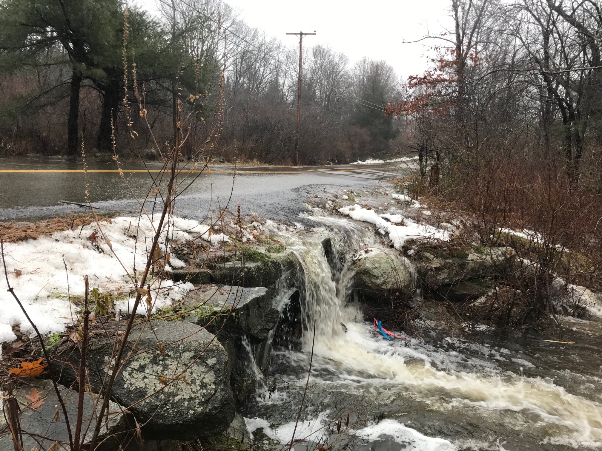
Too often, though, this remarkable journey comes to an abrupt end under the edge of a rusty pipe culvert. Until recently, the Bay Road culvert in Newmarket was undersized and poorly situated, acting as a waterfall-like barrier—preventing eels and other migratory fish from reaching the freshwater habitat essential to their life cycle on the upstream side of the road. The eels whose journey dead-ended at Bay Road might have died as easy prey, endlessly circling below the culvert, or seek another route in search of suitable habitat. This story of thwarted migration is all too common.
Removing Barriers for People and Nature
The Nature Conservancy is working to re-write this story throughout our coastal watershed. We’ve launched an exciting initiative aimed at removing barriers, replacing problematic culverts, and reconnecting New Hampshire’s rivers to our bays and oceans. Our first project—a collaboration with the town of Newmarket to fix the tidal culvert on Bay Road—was also the first of its kind around Great Bay designed to help habitat adapt and improve road infrastructure with rising sea levels in mind. Our efforts are a model for many more to come. The project allows eels and other aquatic creatures, as well as small mammals, to move safely beneath the road to reach critical habitat, while providing safer passage for people traveling this scenic stretch of roadway.
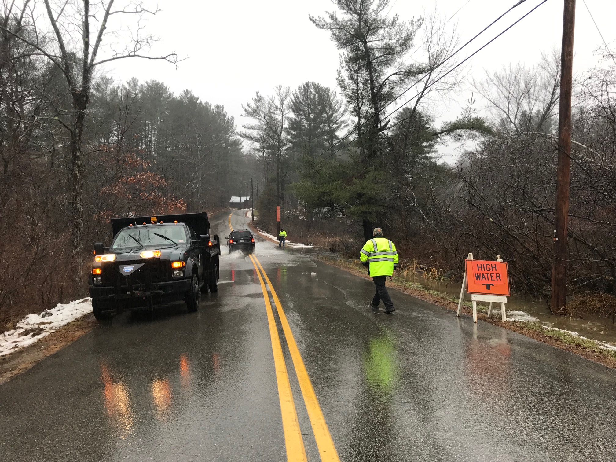
With rising sea levels, more intense storms and increased surface water runoff, the Lubberland Creek tidal culvert could not pass water adequately between the creek and the nearby salt marsh. That created a road block for creatures like the glass eel, and other aquatic species that move from the Great Bay Estuary upstream to freshwater habitat. In heavy rain events, the culvert would overflow, flooding and washing out the road.
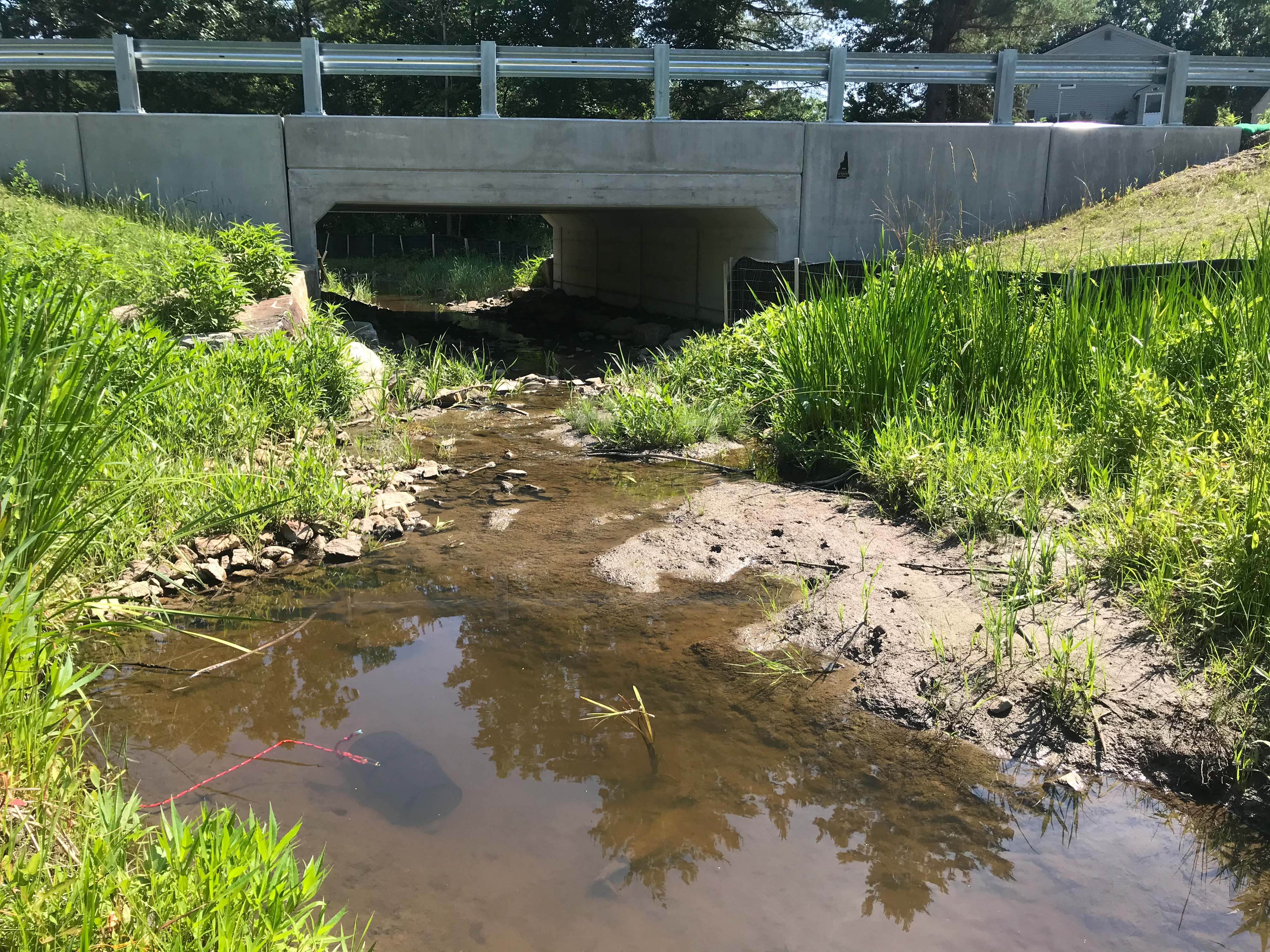
That’s why we collaborated with the town of Newmarket to replace the old 3-by-4-foot pipe with a concrete box culvert that’s 16 feet wide and nearly nine feet tall. This new structure is designed to allow water to flow freely with the tides, enabling fish and other creatures to navigate Lubberland Creek and providing a migration pathway for the salt marsh as rising sea levels push it through the culvert into our 400-acre Lubberland Creek Preserve.
Salt marshes provide important wildlife habitat, store flood waters, and host plants that sequester massive amounts of carbon that mitigates climate change. While salt marshes depend on the rise and fall of the tides, rapid sea level rise will drown them unless they can move to higher ground.
Quote: Pete Steckler
It’s not just about the eels and it’s not just about a single fish, it’s the whole package, including the broader food web, saltmarsh migration and estuary health.
“There’s going to be a need for the Lubberland Creek salt marsh to move inland and to adjust and adapt to remain a salt marsh system in the face of climate change,” says Pete Steckler, TNC’s GIS and conservation project manager in New Hampshire. “Making sure we have secure, viable, habitat affects the whole system. It’s not just about the eels and it’s not just about a single fish, it’s the whole package, including the broader food web, saltmarsh migration and estuary health.”
From Bay Road to Bay-Wide
Newmarket Public Works Director Rick Malasky believes the new culvert will end flooding that has washed out the road three times since 2006 and left it under water frequently. “Never say never, but I do not believe that I will live to see that road flood again,” he says. The improvement will save repair costs and preserving an alternate route to escape high water in other parts of town.
And it’s not just about Bay Road. “How do we scale from this one project to the next set of projects for greater impact and ecological benefits while addressing infrastructure needs?” Steckler says.
A first step was for TNC to lead an effort with partners to develop standard, scientific methods to identify other tidal crossings that could be improved throughout the Great Bay Estuary and Seacoast—The New Hampshire Tidal Crossing Assessment Protocol. The protocol is one of a few in a toolbox of strategies being developed for climate adaptation on the seacoast.
At the Statehouse, Senator David Watters of Dover is also working to prepare for a changing climate. He proposed the formation of New Hampshire’s Coastal Risk and Hazardous Commission and calls its 2016 report a valuable plan for the Seacoast and a model for the country.
Quote: David Watters
Some of it is regional planning, some of it is coastwide planning, but some of it really does get down to ‘when you are going to replace a culvert, what do you do?'
“Some of it is regional planning, some of it is coastwide planning, but some of it really does get down to ‘when you are going to replace a culvert, what do you do?’” says Watters. The Tidal Protocol helps to answer that question by providing a screening tool for assessing and prioritizing tidal crossings for replacement. Even before the Bay Road construction began, we secured design and engineering funding for several other high-priority crossings. Now we are working with community leaders and the state Department of Transportation to address the next set of priority tidal crossing replacements.
Replacing tidal culverts is just one example of how we are charting a course for healthy waters in the Granite State. By removing or improving barriers such as culverts and dams, we can reconnect our rivers and streams and provide for free movement of fish and other organisms. Working together, we are writing a new story—for the glass eel and, ultimately, for the rest of us that call the seacoast home.
Downloads
Help Raise Nature's Voice from a Whisper to a Roar
Together we can find creative solutions to tackle our most complex conservation challenges and build a stronger future for people and nature. Will you help us continue this work?
