Gulf of Mexico Dead Zone
The Gulf dead zone threatens seafood production, recreation and marine life.
What Causes the Dead Zone?
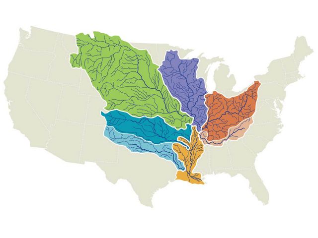
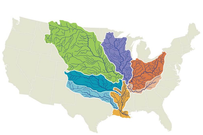
Heavy rains and melting snows wash massive amounts of nutrients—particularly nitrogen and phosphorus—from lawns, sewage treatment plants, farmland and other sources along the Mississippi River into the Gulf of Mexico. Once in the Gulf, these nutrients—which are required for plant and crop growth—trigger algae blooms that choke off oxygen in water and make it difficult, if not impossible, for marine life to survive.
The National Oceanic and Atmospheric Administration, or NOAA, estimates that the dead zone costs U.S. seafood and tourism industries $82 million a year. The impact could be devastating to the Gulf’s seafood industry, which accounts for more than 40% of the nation’s seafood. Louisiana is second in seafood production only to Alaska.
Because fish and other commercial species usually move out to sea in order to avoid the dead zone, fishermen are forced to travel farther from land—and spend more time and money—to make their catches, adding stress to an industry already hurt by hurricanes and oil spills. Those species that can’t move—or can’t move fast enough—die off, leading to the name “dead zone.”
How Big is the Dead Zone?
Scientists have determined that the dead zone was about the size of Delaware during the summer of 2018. This is the fourth-smallest dead zone mapped since 1985, likely due to wind patterns that helped mix more oxygen into the water. However, high levels of nutrient runoff continue to flow into the Gulf, meaning that the underlying cause of large recent dead zones remains a serious problem.
The Mississippi River, its tributaries and floodplains, and the Gulf are an inner-connected system that affects—and is affected by—people. We must work collaboratively to find solutions that address the connectivity of this system—solutions that benefit people and nature.

Liven up your inbox.
Get the latest news, photos and opportunities near you, delivered monthly. Check out a sample Nature News email.
What Is Being Done About the Dead Zone?
- The Nature Conservancy is working with farmers to promote more effective and efficient use of fertilizers
- The reconnection of rivers to their floodplains not only helps to mitigate floods, but filter excess nutrients from the water
- Legislation like the RESTORE Act and Farm Bill play critical roles in protecting the country's natural resources.
It's time for us to take a fresh look at the way we manage large rivers and the gulfs and bays into which they flow. We've seen that dams and levees alone will not solve problems like floods and their impact in the Gulf. By managing nutrients more efficiently in farm fields and by restoring wetlands and riparian systems to capture nutrients and reduce runoff, The Nature Conservancy’s Mississippi River Program and Gulf of Mexico Initiative are working with farmers and other partners to slow or even reduce the growth of the Gulf’s dead zone and its effects throughout the region.
Working with Farmers
In river basins throughout the Mississippi River watershed, TNC staff are working with farmers, university scientists and departments of agriculture to promote more effective and efficient use of fertilizers and reduce the amount of nutrients that enters our rivers from other sources. In many cases, better nutrient management also leads to better soil management, which reduces surface runoff and flooding and maintains or enhances agricultural productivity.
Over the past 40 years about 70-80% of additional food needed by our growing population has come from the intensification of farming on existing acres. It’s simple. If we don't do anything to conserve soil and reduce nutrient loss on existing croplands, we'll have to clear more land and we'll continue to have growing dead zones in the Gulf.
The Nature Conservancy also works to reconnect rivers to their floodplains, which does more than help mitigate flooding in metro areas. Floodplains also act as filters that remove excess nutrients from water. TNC has worked with partners in implementing the two largest floodplain reconnection projects in the Mississippi River Valley—one at the Emiquon River in Illinois and one 25-square-mile project on the Ouachita River in Louisiana.


