The Nature Conservancy is leading an effort to link conservation and restoration with the Federal Emergency Management Agency’s (FEMA) Community Rating System. Working with our partners we are creating projects that enhance the natural environment while reducing flood risk and helping communities adapt to climate change.
The project can also unlock significant savings for communities. By implementing the Community Rating System (CRS), communities can identify opportunities—such as open space protection and wetland restoration—to effectively reduce flood risk. These strategies are creditable components of CRS that can lead to significant flood insurance savings.
Community Rating System Tools
-
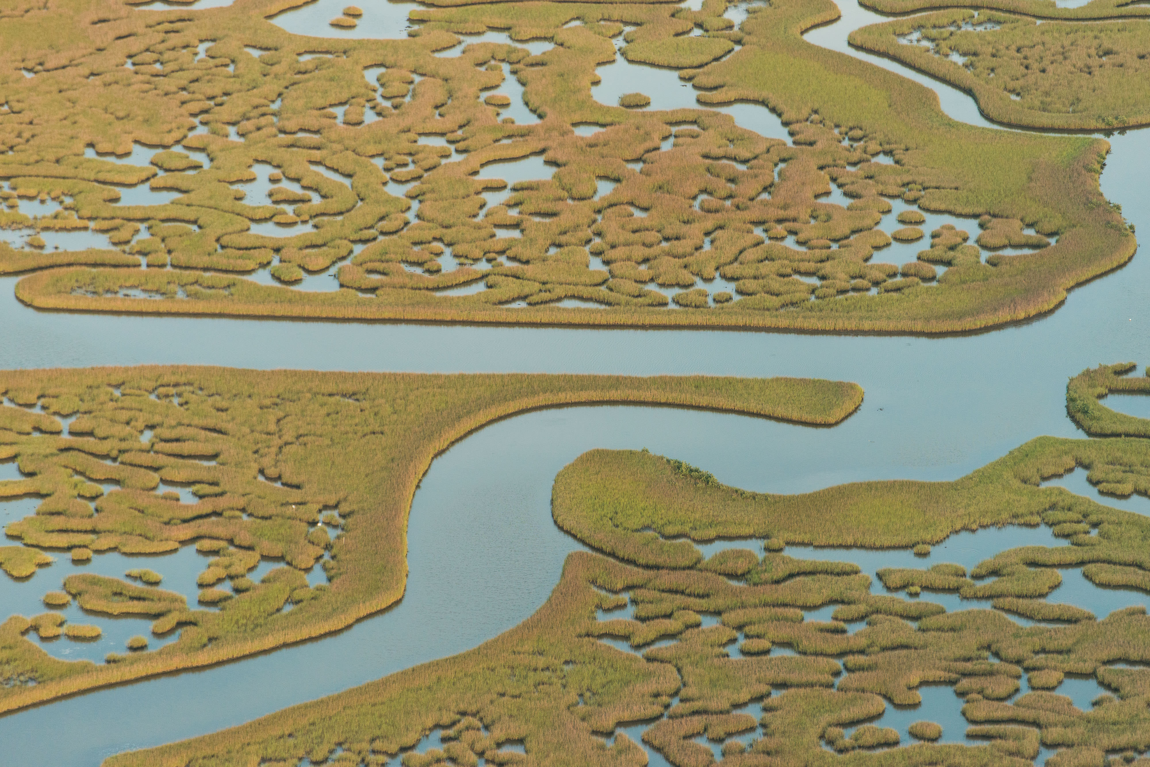
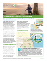
Community Rating System Explorer
Identify opportunities - such as open space protection and wetland restoration - to effectively reduce flood risk. Learn More
-
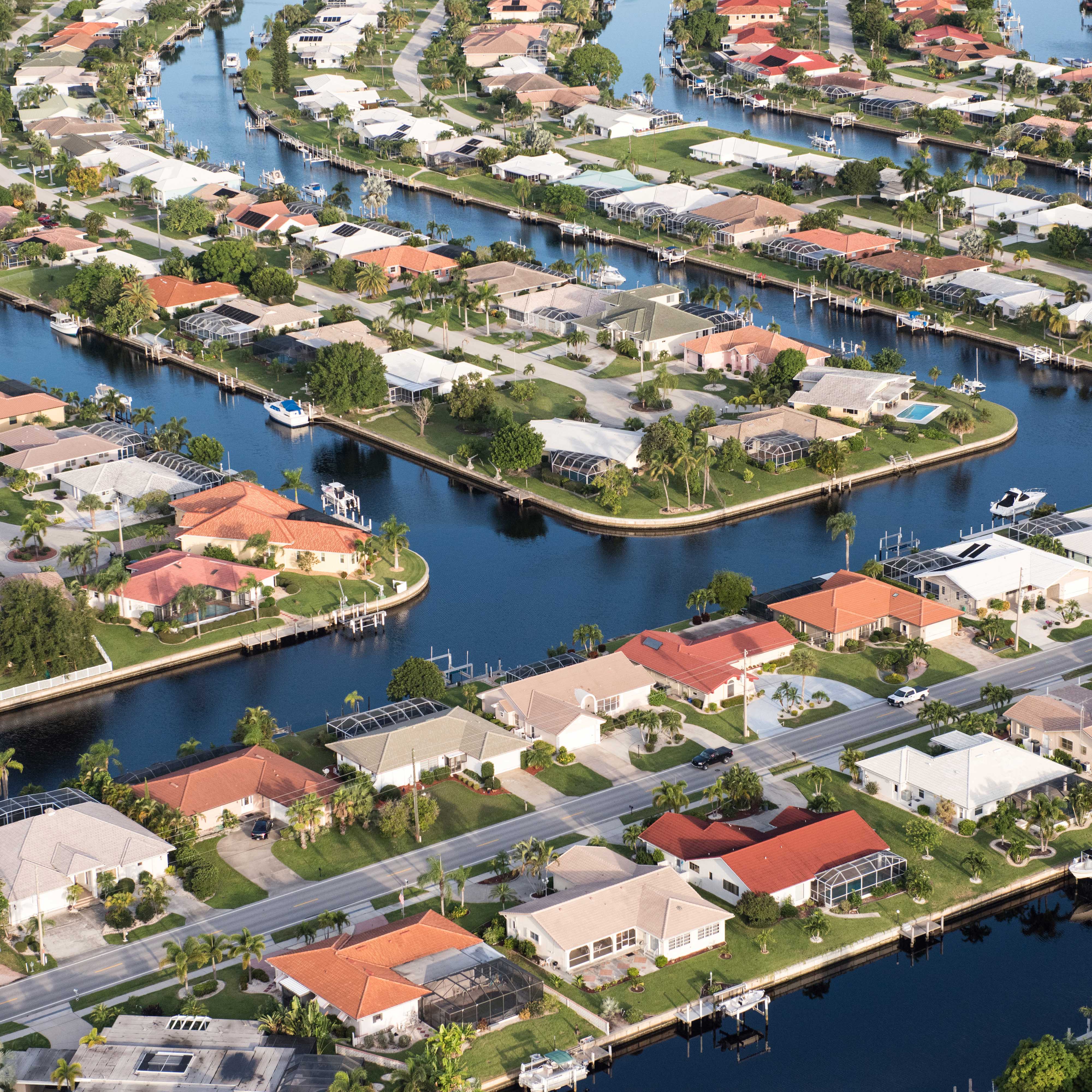
Coastal Resilience Web Mapping Portal
The Coastal Resilience program consists of an approach, a web mapping tool, and a network of practitioners around the world supporting hazard mitigation and climate adaptation planning. Learn More
The Nature Conservancy is partnering with municipalities to plan and design these nature-based solutions that restore and protect natural areas, reduce flood risk, and earn citizens a discount on their flood insurance rates.
The Gulf of Mexico Program received a Capacity Building Grant from the National Academy of Sciences Gulf Research Program to work with three communities: Rockport, Texas; Sanibel, Florida; and Biloxi, Mississippi. Together, these communities and The Nature Conservancy are developing tools that facilitate identification and selection of nature-based projects that can restore habitats and enhance coastal resilience while earning CRS points to reduce rising and uncertain flood insurance rates. Guidance documents, lessons learned, and case studies will be shared here for use in communities across the United States that are interested in or currently a part of the CRS Program.
Read a Q + A with Tom Mohrman, who is working along coastal Mississippi to help communities understand and benefit from CRS.

Tom Mohrman is The Nature Conservancy in Mississippi’s Director of Marine Programs. Tom is working along coastal Mississippi to help communities understand the Community Rating System and implement changes to maximize the system’s community, environmental, and economic benefits.
Can you explain a little about CRS?
The Community Rating System (CRS) is a voluntary FEMA program that offers (NFIP) federal flood insurance discounts to communities that meet certain criteria related to resiliency. Participating communities are ranked into categories (1-10) based on scoring a specific number of points. For example, if you score at or above 2,500 points you are ranked a class five, which gives residents in that community’s flood zone a 25% discount. A specific number of points are allowable in across several different categories, some of which overlap with nature-based resiliency approaches. A 641 page handbook defines the categories, allowable points, and interprets what actions could qualify. Often a community will employ or contract a Certified Floodplain Manager (CFM) to submit the communities CRS certification to FEMA.
How does the CRS work fit within the broader context of TNC’s work along the Gulf of Mexico?
Protecting the habitat and functionality of the Gulf’s floodplains are important to maintain the health of nearshore waters. The CRS program offers communities a financial incentive to protecting those lands that fall within their flood zones. This is further explored in the Gulf Program publication “ Protecting Open Space & Ourselves” where high priority lands are identified for protection overlapping with repetitive flood claims. Protection of open space and natural benefits can support the resilience of a community; the CRS program helps to make that linkage via an insurance discount.
What can the impacts be for a community like those along the Gulf Coast?
The first benefit is a savings on an individual’s NFIP cost, which the discount should be stated on a policy holder’s bill. In general a community can score a 10- 25 % discount depending on what they certify. This can also help justify why a particular property is in conservation rather than on the tax roll. More importantly however, I believe that this program can open the door for conversations regarding the use of habitat and open space for their natural benefits. Conversations between city officials and Land Trusts are needed to complete the certification process. This is important facetime as it allows for greater interaction between Land Trusts and communities.
What has the reception been like for those learning about CRS?
Admittedly, we received very little response at first. We were lucky to have a prior relationship with one city to get started, however it wasn’t until we started showing outputs and identifying uncredited points that we started getting interest. We added a handful of communities to the CRS Explorer mapping tool, that was originally developed for the North Carolina coast. I am happy to say that all the communities that were included in the CRS Explorer tool are now using it and additional communities have expressed interested in being added. I have also heard from other Land Trusts that they are being contacted by neighboring communities interested in including their protected lands as part of a CRS application.
Do you anticipate this program growing along the Gulf?
I believe that this work is organically expanding into different communities, but it is largely dependent on city staff expertise and experience. You need to have a municipal partner or advocate that understands the CRS program and the added value that engaging with TNC offers. In many ways we are adding capacity and expanding community participation. Currently the Gulf Program is working in Sanibel, Florida, Biloxi, Mississippi, and Rockport, Texas. There is no reason to prevent us from working in additional communities as long as we have engaged partners.
What’s next for yours and TNC’s work on CRS?
In Mississippi, later this spring TNC and partners will be hosting workshops with the City of Biloxi to develop a “Blueprint” which should identify potential CRS points related to habitat and open space preservation. I am hoping that this could be an exportable process and model for other neighboring communities. If we get some interest I’d like to repeat this process in other coast communities. We also have several communities interested in being added to the CRS Explorer tool. I’d like to seek funding opportunities to expand the CRS Explorer tool to include these communities.
From my experience engaging in CRS is a process that requires an investment in time to develop the relationships needed to be successful. I have been fortunate that the Gulf Program has provided me the time and funding needed to engage with Mississippi communities. What we have been able to do has largely been because we have been physically visible and present whenever the opportunity existed.
Success can build upon itself and spread, but every community needs to be treated individually.
