interstitialRedirectModalTitle

interstitialRedirectModalMessage

Places We Protect

Falls Ridge Preserve

Virginia

Close up view of small ferns growing out of a clump of earth. The white water of a small waterfall is artfully blurred in the background.
Falls Ridge Preserve boasts a spring-fed travertine waterfall approximately 80 feet in height

As of January 27, 2022, Falls Ridge Preserve is closed until further notice.

We are repairing the trails and allowing nature to recover following an extended period of high visitation and overuse of the trails. Want to help by volunteering? Contact: vapreservestewards@tnc.org. For all other inquiries about Falls Ridge please call: 434-951-0579.

Overview

Description

Part of a steep, rugged ridge that rises from the valley of the North Fork of the Roanoke River, Falls Ridge Preserve boasts a spring-fed travertine waterfall approximately 80 feet in height.

Salem Fault runs through the preserve, dividing it into two different rock types-Precambrian limestone and shale/sandstone. The corresponding difference in soil types generates a diversity of vegetation, particularly wildflowers and smaller flora.

The rocks in the travertine falls watershed grew steadily, as minerals and lime dissolved in the water precipitate upon them. Over thousands of years, the build-up of calcium carbonate steepened the stream's gradient and slowly created both the waterfall and one of the largest-known exposed travertine deposits.

Large sinkholes on part of the land also indicate the existence of underlying caverns which have never been explored.

Access

CLOSED TO THE PUBLIC

Location

Montgomery County, VA

Explore our work in Virginia

WATCH: Enjoy a virtual tour of Fall's Ridge Preserve.

Falls Ridge Preserve (1:36) Easy hiking trails afford views of a spring-fed travertine waterfalls.
Water cascades over a rock lined stream bed.

Falls Ridge History

In 1968, Mr. William P. Bradley, a photographer and publicist, bought the Falls Ridge Preserve area from a local family. Mr. Bradley used the property as a retirement home, eventually deeding Falls Ridge to TNC in 1974.

Prior to colonization, a large Native American settlement was located upstream of Falls Ridge Preserve on the North Fork of the Roanoke River. In 1823, the Governor of Virginia granted to the Birchfield family 700 acres of land, encompassing part of the present day preserve.

A local family, the Dudleys, later acquired the land and used it not only for farming but also to operate several enterprises: a wool carding mill, general store, post office, lumber milk gram mill and a livery. In 1939, a kiln to produce burnt lime was installed at the falls by Harry Dudley. Calcium carbonate cliffs (travertine) deposited by the stream were blasted loose, crushed and carted by mule to the top of the kiln. Traces of this operation can be seen near the falls.

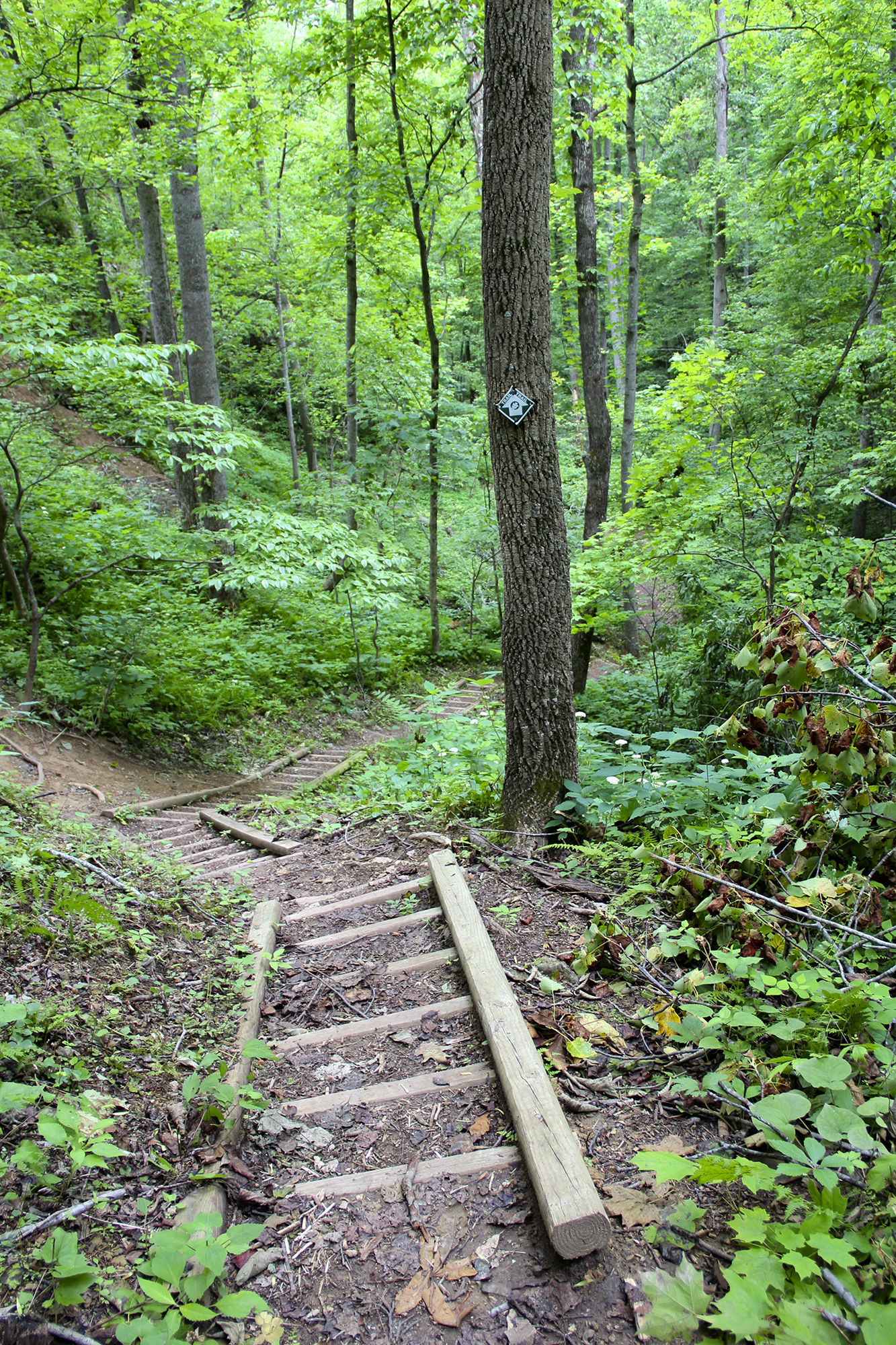
A ladder trail leads into the forest.
Falls Ridge Preserve

Get Involved

Preserve Volunteer Program

Virginia's Preserve Volunteer Program provides a vital service to help us maintain and monitor our public preserves across the state.

How can you get involved?

  • Community Members—become involved with a preserve without committing time to stewardship work. Receive periodic updates about the preserve and special events.
  • Preserve Stewards—visit Falls Ridge at least 4 times a year to assess trail and preserve conditions and perform basic trail maintenance by removing fallen branches and overgrown vegetation.
  • Preserve Leaders—demonstrated commitment to the preserve and willingness to take on additional responsibilities like managing communication & scheduling, leading workdays and guiding naturalist hikes.

Email vapreservestewards@tnc.org to learn how you can help and become a part of the program.

Download the Falls Ridge Preserve Volunteer Program handbook to learn more.

Explore Nature

Need more nature? Visit some of TNC's other preserves.

Find More Places We Protect

The Nature Conservancy owns nearly 1,500 preserves covering more than 2.5 million acres across all 50 states. These lands protect wildlife and natural systems, serve as living laboratories for innovative science and connect people to the natural world.

See the Complete Map